
21st May – Setting Off From Noosa
Our final day at Noosa started like all others. The screech of rainbow lorikeets filled the pre-dawn skies as the first rays of sunshine broke through the tea-trees to the east of the park our apartment overlooks. We were packed and on the road just after 7:30am. A slight detour via Caloundra was required for Mum to sign some papers before we set our GPS for today’s destination, Narrabri.


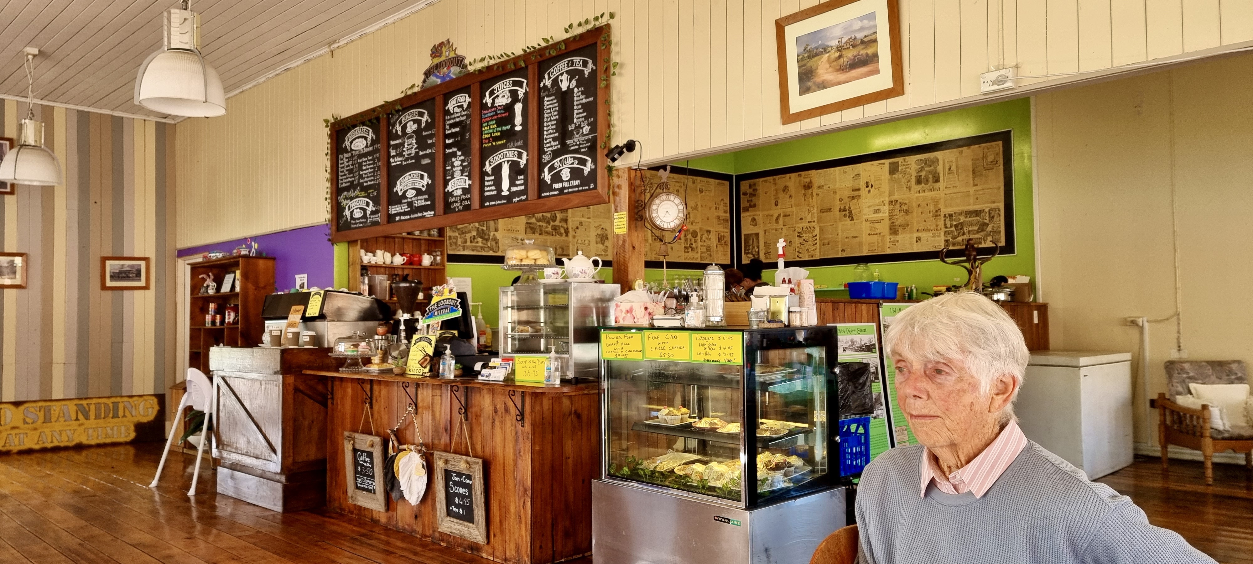
To change things up we plotted a course that continued west from Kilcoy rather that continuing through Esk and Toowoomba. We stopped for an early morning tea at a cafe in Kilcoy that was being managed by new owners. We downed our coffees while waiting for some salad wraps with the lot being made for our lunch later in the day.


The road out of Kilcoy wound its way west, up and over the Great Dividing Range and onto the northern end of the Darling Downs. The roads we followed passed through a number of interesting towns that warrant a second look. The region had experienced drought-busting rains and lots of standing water beside the road was evidence that the rains had also been quite recent. A variety of crops were ready for harvest, with cotton being the most dominant by far. The harvested cotton was being bailed up into large yellow wrapped circular bales and left in neat rows in the paddocks before being loaded onto large trucks for shipment to processing facilities.
Crops including chickpeas and pulses were being planted out into fertile and well-watered paddocks. It would seem that these are the favoured cash crops, replacing much of what might previously have been largely wheat. The roads were busy with large semi trailers carting cotton bales, while others were delivering seed to be planted out.
We stopped briefly at Millmerran for lunch before crossing into New South Wales at Goondiwindi and heading on to Moree as the sun set, with the final rays being caught by the higher peaks of Mt Kaputar National Park range to our east.
We were heading into parts of NSW that had been experiencing a mouse plague and we were on the lookout for evidence of their presence. Small grey blotches on the road surface seemed to suggest that a number of mice had unsuccessfully attempted to cross the highway.
It was dark when we arrived at our accommodation for the night; a bungalow attached to a large house on about 5 hectares of land a few kilometres out of Narrabri. The bungalow was decorated with an eclectic mix of Asian furniture, art and carvings. We later discovered the owners were regular travellers to Asia.
22nd May – Exploring the Piliga
It was the coolest morning we had experienced for a number of weeks. Fortunately the accommodation was heated, and that disguised the fact that it was 3C outside. A lap of the gardens around the bungalow we stopped in overnight followed as the sun came streaming through the trees. Our host Robert was out walking Willow (his dog) and up for a chat.
Rob and his wife have lived in the Narrabri region for over 20 years. They lived in town for 10 years before moving to their current home on 5 hectares. They have a cropping farm in the area and will soon be planting chickpeas, having finished the recent harvest of cotton. Mice have been a problem in the region, but with the harvest all but concluded the mice have moved back into the grasslands looking for food and their numbers have declined as a result.
Robert and his wife have worked and travelled in Asia, most recently completing a motorbike journey from Delhi to Kashmir in India. Robert’s wife had also worked in Nepal with the forestry department for a period of time. Both were taken by the scenery they had experienced in the Himalayas. Robert was interested to learn more about our travels in the region. One suspects there are few people living in Narrabri who can relate to the experiences he and his wife have collected on their journeys.

Our next stop was a series of sandstone caves located not far off the Newell Highway, approximately 85 kilometres south of Narrabri. The turnoff is not well signposted so instructions sent through from a fellow traveller friend of Wendy were put to good use. The instructions were accurate and it wasn’t long before we were bouncing along a gravel track to a car park, signage, and the start of a short walking track around the cave system.
The cave system is located in the Piliga State Forest – the largest native state forest in NSW. The forest stretches some 60 kilometres north and about 70 kilometres west. From the Newell Highway it appears as a monotonous stretch of open forest, with anything more than 10 metres from the roadside hidden by the undergrowth. The cave system is a hidden gem with stunning landscapes and views. They play an important part in the history of Australia, capturing evidence of habitation from around 12,000 years ago.
The loop walk circumnavigates the cave system that surrounds a rocky outcrop atop a high point in the Piliga Forest. The sandstone has been weathered from all directions, creating a series of caves that have been host to First Nations people (as well as the local wildlife, including wallabies and smaller marsupials, bats and reptiles). Evidence of the caves being used for shelter are obvious. Grooves worn into certain rocks show where tools have been sharpened while engravings of kangaroo and emu tracks can be found in other caves.


We were the first to arrive at the sandstone caves for the day, but on our return to the car park others had subsequently arrived. We passed a further two vehicles on the track back to the Newell Highway.
Dubbo was our next stop. Being close to lunch time it was only fitting that we reacquainted ourselves with the Dahab Café that keeps people coming back for tasty food, great coffee, and a friendly family-run vibe. An Egyptian inspired café in Dubbo might seem a little out of place but it just goes to show that if you do something right, people will come.


Our journey beyond Dubbo was one that we have become familiar with. Mining supported the development of towns like Peak Hill in the 18th and 19th century and continues to do so today. Agriculture has been the primary source of income around Parkes and Forbes and continues to be so, helped along by access to the waters of the Lachlan River. A gold rush inspired the establishment of West Wyalong, with its main street that originally navigated the path walked by miners around large trees. No effort has been made to try and straighten the street that is now lined with stores, cafés and hotels.
We entered the MIA (Murrumbidgee Irrigation Area) with its network of canals that deliver water from the Murrumbidgee River to surrounding farms. This is made possible due to the flat nature of the plains in this part of NSW. It does comes with its challenges, as too much water has been drawn from the river systems in the past – degrading the rivers and the water quality and quantity available to those downstream. For years rice was the dominant crop, but water-intensive. Changes have been made, resulting in dry rice farming and the sowing of other, less water-intensive, crops.
It was dark when we arrived at our AirBNB accomodation. The building was constructed in 1860 by two enterprising locals who managed a punt across the Murrumbidgee River. The house was originally built to provide accommodation for travellers (most likely on their way to the West Wylong goldfields). At various time the building was a pub, provided a venue for court hearings, served as a place of worship, and now as an AirBNB accomodation option in Narranderra. The renovations were well done and in keeping with the building’s history.
Dinner was at one of the local pubs (as there are few other options in Narranderra). The restaurant was busy and we were glad we got there early. The main bar was frequented by the locals, some of whom had come from Saturday footy while others were using it as a catch-up place to share a yarn with friends at the end of another week. The NRL on one TV was competing with the trots on another TV and the general banter around the main bar. Few were actively watching either television, but cheers would fill the bar when a team scored in the NRL.
23rd May – the Final Leg Home
Yet another clear sunny day greeting us as we woke. We had a moment of doubt when it felt like we were waking in a museum. That quickly passed and we were soon packed and on our way to the centre of town to see if we could get a table at Café Shazaray. Fortunately we arrived early enough to get a table before the morning rush turned up at around 8:30am. We knew we were on to a good thing when we noticed the local paramedics queuing for coffee – its always a good sign when the local ambos, fireys and police patronise a café.
The landscape south from Narranderra remains largely unchanged, with the meandering Murray River cutting though the otherwise flat landscape. We sensed the countryside was looking drier than the regions further north. Lots of activity was underway in the expansive paddocks, with tell-tale clouds of dust being stirred up by tractors preparing the ground for winter crops.
After crossing the Murray River at Tocumwal we took a short detour into the Murray Valley Regional Park to check on the state of the river where we have camped on previous visits to the region. The track in was badly chopped up and potholed, with the remains of bog holes suggesting rain had contributed to the poor state of the track in previous weeks. The state of the track is viewed by us as a positive, as it means larger caravans are deterred from camping along this stretch of the Murray – thus giving us the pick of the potential camp sites.


Our journey south returned to the Newell Highway, cutting a path through dedicated dairy farms. Milk tankers were out collecting milk from the farms and we got caught behind one such tanker for a short period of time before an overtaking opportunity presented itself.
Lunch time approached and we tried out a café located in a converted church in Shepparton. People-watching in these settings is also interesting. One couple in particular grabbed our attention, due largely to their eating preferences (large servings of sugar-rich drinks) and a habit of playing with the straws in a smoothie but not drinking any of it.
The dual-lane freeway back to Melbourne kicks in just south of Shepparton and joins with the Hume Highway (that we travelled north on a few weeks ago) at the Seymour bypass intersection. Roadworks on the approach to Melbourne had the freeway closed and detours set up – that added about 30 minutes to our journey home. The detour took us back to the original road in / out of the city and brought back memories of navigating traffic lights (and traffic) on previous trips years ago, prior to the freeway being built.
We eventually returned home just after 4:30pm to find everything as we left it. Unpacking was completed without delay and the washing machine was cleaning an accumulation of items requiring a wash not long after. A few calls to family and friends closed out the day.
24th May – Recap and Reflection
We arrived back home at around 4:30pm yesterday, to a warm and sunny afternoon with people out and about enjoying the conditions. It wasn’t long before we were unpacked, the washing machine was on, soup from the freezer was thawing out and a few catchup calls with family and friends were made.
During our time away we covered 5,006 kms in the new Prado. It is comfortable to tour in, although we are still coming to terms with some of the technology. The GPS is useful for keeping track of the distance and estimated time to the planned destination for the day; however turn-by-turn instructions can be confusing as the routes plotted avoid toll roads (regardless of our intentions / instructions). One senses we will have to consult the manual to work through this issue.

Overnights stops on our itinerary included:
- Thirlmere (A) – just south of Sydney
- Maclean (B) – on the banks of the Clarence River
- Noosaville (C) – in an apartment between Gympie Terrace and Hastings Street
- Narrabri (D) – stopping in an AirBnB a few kilometres out of town
- Narranderra (E) – stopping in a restored 1860s pub
Our road trip itinerary was planned around revisiting the Pacific Highway north of Sydney through to the Sunshine Coast. It had been quite some years since we had been through this part of NSW. The journey north from Melbourne to the Sunshine Coast is now duplicated all the way up the coast. With few exceptions it is freeway all the way, except for a section through Raymond Terrace and another around Coffs Harbour.
The Pacific Highway is probably at its most scenic from Maclean through to the Queensland border – undulating fertile, very green hills with a number of rivers winding their way through the hills to the coast. Once over the border, the traffic from Coolangatta through to the Sunshine Coast is indicative of this being one of the more heavily populated parts of the country.
The roads have always struggled with the increasing population in the south-east corner of Queensland. It is a stretch of road that is constantly being repaired / updated / changed, with associated delays every few kilometres.
Our return to Melbourne took a different twist, with a slightly altered route over the Great Dividing Range, eventually joining up with the Newell Highway east of Millmerran. We also broke up the return journey, extending the usual two day journey into three. This allowed us time to explore the Sandstone Caves in the Piliga State Forest and turn what some describe as a boring leg of the journey into something quite interesting and informative.
We avoided the central NSW mouse plague that has been regularly reported in the media. No live mice were sighted, but their remains were evident as we passed through the worst affected region around Dubbo.
The rivers around Goondiwindi were looking as healthy as we have seen them for many years. The waters from these rivers was making its way slowly down the Darling River, into the Menindee Lakes system south east of Broken Hill, and on to join up with the Murray River at Wellington (to the west of Mildura). We heard reports that the Darling at Wilcania was peaking at 9 metres. In contrast, it wasn’t flowing at all when we passed through there a couple of years ago – just stagnant billabongs supporting a few birds and the feral goats.
The region south of Narranderra was looking drier than the properties further north. The Murray River at Tocumwal was as low as we have seen it. We turned off the highway just over the border into Victoria and followed a rough track to a camp site we have used previously. The river views said it all, with the water level low and lots of once-submerged trees well out of the water, making navigation on the river a challenge.
The weather was kind to us, with only one day of rain that did little to disrupt our agenda while away. We enjoyed great company, excellent food and drinks, interesting (and sometimes challenging) walks, numerous coffees and just having the time to do very little. We did find time to research and draft out our next trips away. If all goes to plan we will be back on the road for another multi-week road trip that will circumnavigate the Simpson Desert before returning home in July.