Heading bush after a lengthy lock-down
Tuesday 30th June 2020
The COVID-19 pandemic lockdown has just been relaxed, and with school holidays starting we have decided to escape the city to practise self-isolation in the bush for a few days. Wendy went online to book a campsite in Mimosa Rocks National Park, located a few kilometres north of Tathra on the south coast of NSW. We have not been camping since February; a break from what seems to have been a couple of long months is something we are both looking forward to.
Our journey started just prior to 8:00am on a cold (but clear and sunny) morning. We drove against the traffic, with the early morning sun slowly making an appearance in the sky to the north east. Once through Dandenong we joined the freeway that took us further east, away from the suburbs and into the countryside with its rolling green hills and electricity towers supporting the cables that deliver the bulk of power generated in the Latrobe Valley into the city.
We crossed over a series of hills to the east of Pakenham and descended into the fog-filled Latrobe Valley, where visibility was reduced to about 50 metres. It was difficult to get any bearings as we passed through towns that were little more than faint outlines shrouded in white fog. The fog was our constant companion until we passed through Sale and drew closer to the ocean. The sunlight eventually cut through and delivered up a blue sky and green pastures as Bairnsdale approached.
Fuel was reasonably priced in Bairnsdale, and after consulting a fuel app we decided it was better to stop and top up there, where the price was $1.10 per litre, rather than paying $1.19 further up the road. When it’s typically a 100-litre fill up, there’s quite a saving to be had.
Lakes Entrance has a familiar feel about it. Perhaps it’s all those Easters spent around the Gippsland lakes when the boys were sailing. It’s a place that doesn’t change quickly. We found a bustling café that was observing social distancing rules and asked if we could get a table inside, as lunch time was upon us. They took our number and called within about 10 minutes to advise that there was seating available. The coffees and paninis we order hit the mark, and we were soon back on the road north to our destination.
Conversation had turned to where we would first come across evidence of the fires that swept through this part of the country back in December and January. Small signs of fire appeared just before the Bemm River turnoff, but once we passed the turnoff there was no mistaking the wholesale devastation that had swept over the hills earlier in the year. Many trees were throwing new green shoots that contrasted with their blackened bark. Where the fires had burned the hottest there were no green shoots bursting into life; just blackened trees remained.
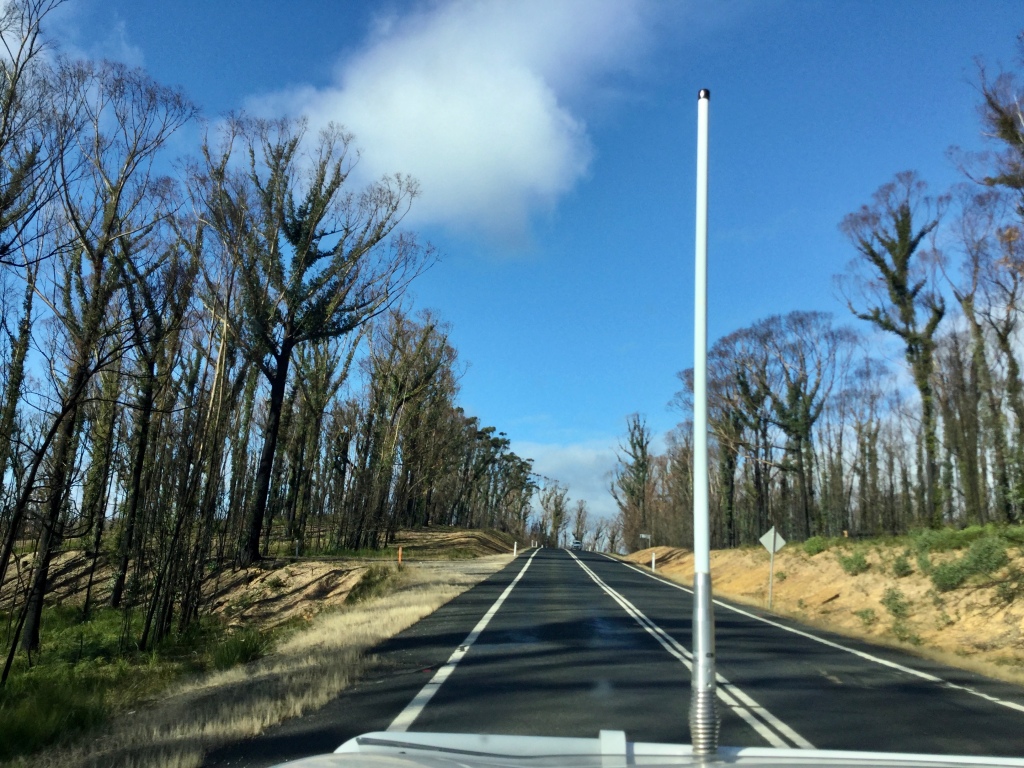
This scene of devastation and regrowth was our companion for many kilometres. The Mallacoota turnoff was particularly eerie, as it was clear the fire that burnt through here was extremely hot. Road signs were scarred by the heat with their letters all but gone. A few kilometres further up the highway, however, we were back in untouched temperate rainforest, with treeferns reaching towards a sky that was only partially visible under the canopy of tall mountain ash trees.
Our journey continued on into New South Wales and through the town of Eden. This was as far north as we had previously explored along the south coast. The Princes Highway meandered through the coastal hills, offering glimpses of the ocean to the east. Pambula and Merimbula came next. Signs advertising local oysters caught our attention and may entice us to stop on our way home.
The hills became steeper as we approached Mimosa Rocks National Park, and the forest became thicker. Spotting the turnoff to the camp ground became the focus of our attention. An unsealed, narrow and dusty track followed a winding course through the forest and down to a well patronised camping area where some sites were right beside the beach. We have opted for an elevated site, just a short walk from the sand and surf, that will be difficult for others to encroach on while we are here.
As dusk made way for nightfall, a local possum wandered through our campsite looking for anything edible. We made it clear that this was not something we would encourage. The crash of the surf on the beach below our campsite will be the only white noise heard tonight.
Getting our bearings
Wednesday 1st July
The crash of the surf on the beach below our campsite was constant throughout the night. It changed slightly as the full tide reached into the dunes that separate the campsites from the beach, then returned to white noise as the tide went out in the early morning. First light was around 6:45am, and small birds began calling to one another as the sun rose above the horizon just after 7:00am.
The diesel heater was turned on while we enjoyed the limited reception available and read online newspapers. Nothing new to report. COVID-19 dominated, with escalating cases being detected in Victoria while other states consider relaxing their restrictions. The USA continues to stumble along, with an ever-increasing number of cases detected and the death toll continuing to rise while a polarised population argues about wearing masks.
It was a relatively mild morning when we eventually stepped outside – around 12C or 13C with no breeze and a relatively clear sky overhead. With nothing to do and all the time in the world to do it, we enjoyed a well-paced breakfast as the world woke up around us. Chris set up the solar panel that will hopefully keep our batteries topped up during our time in the National Park. Fortunately Wendy had packed a number of frozen items in the fridge; after a cool day travelling followed by a cool night, the fridge has yet to turn on and make any demands on our power supplies.
Next we set off to get our bearings in terms of where the toilets and rubbish bins were, how we accessed the beach and where the walking trails started from. We read the information board at the entrance to the campgrounds. COVID-19 information was getting a lot of coverage. There were also warnings about ticks and how to deal with them should they ‘hitch a ride’.

On returning to camp, we grabbed the camera and set off to walk to the northern headland, sighted when we did our lap of the campground. The coastal bush setting has changed from what we would find in Victoria. The tea tree has given way to banksias that stand tall and twisted, with flowers of all ages adorning the branches like decorations on a Christmas tree.
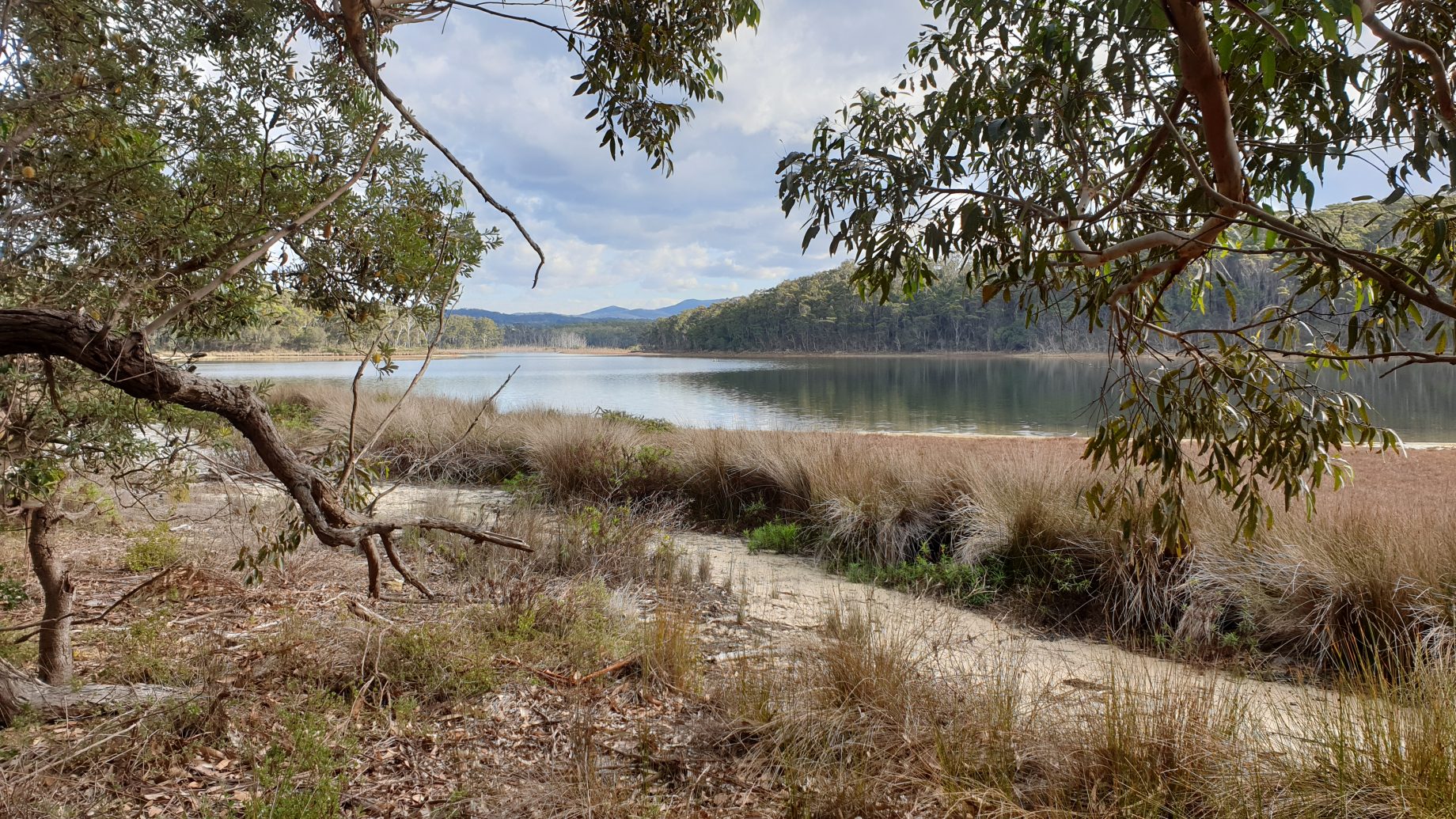
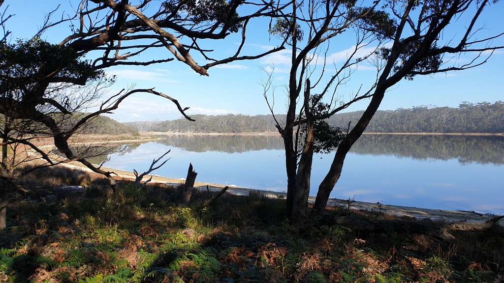
The meandering walk climbed up to a grassy hill with views up and down the beach. The grassed area was popular with the ever-present eastern grey kangaroos, judging by the telltale signs they leave behind. The walk down from the hilltop brought us to the edge of a mirror-like lake, with only the ripples from paddling birds disrupting the near-perfect reflections of the forest opposite. We subsequently learnt that the lagoon occasionally drains its brackish waters into the ocean; after heavy rains or large storms the ocean swell will crash through the sandbar that separates the two. The lagoon is home to a number of water birds including swans and cormorants, together with plovers and oystercatchers. It also supports schools of prawns during the season.
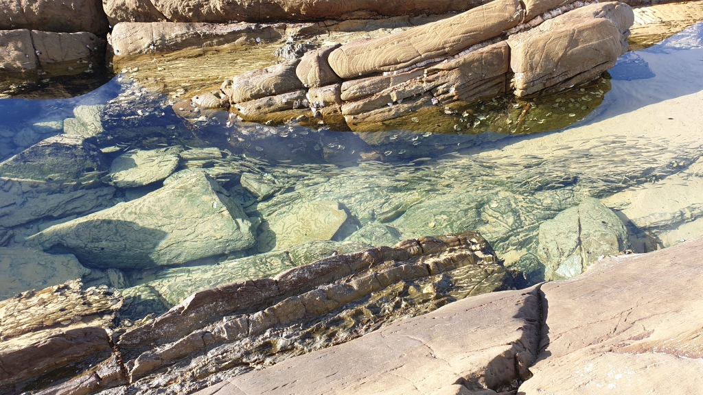
We left the bush tracks behind and walked along the beach to the northerly headland where the sand was interrupted by rocky outcrops that had the occasional wave throw sea spray high into the air. Chris attempted to get around the headland to see what might be further to our north but his path was blocked by a challenging rock climb / scramble he wasn’t prepared to attempt.
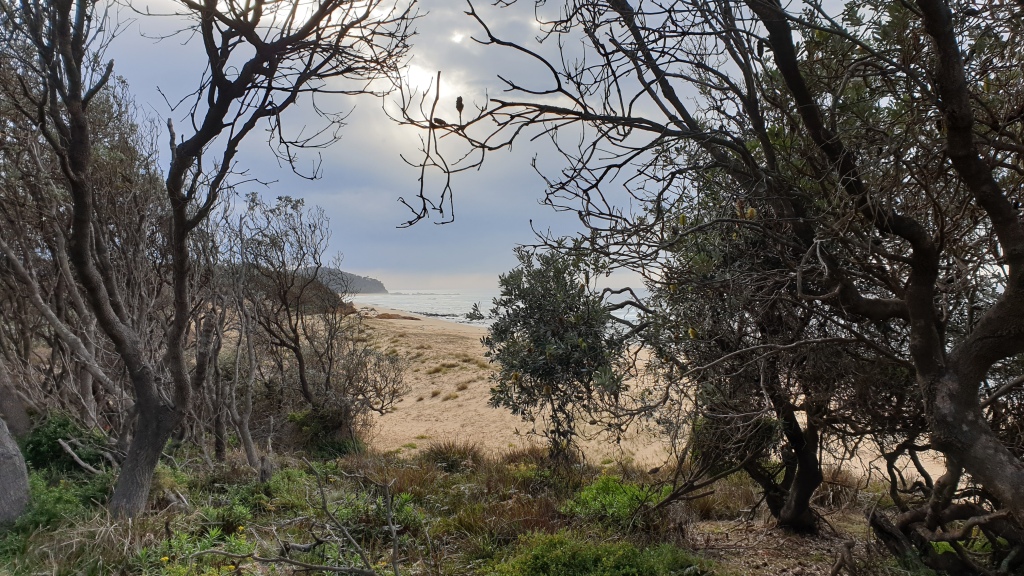
A flight of stairs led to a carpark that overlooked the beach and provided surfers access to a popular break that curled around the rocky headland we had just visited. We climbed the stairs and found another information board that showed there were numerous walking tracks north to yet another lagoon / inlet, beach and headland. This will be our challenge tomorrow. Our steps were retraced back to the campgrounds where we noted that many who had been here overnight had moved on.
After a relaxing lunch we set off to explore the southern end of the beach we are camped beside. It was all beach walking, except for the short walk from our campsite to the stairs that led down onto the beach. A swamp wallaby was grazing on the grass at the top of the stairs and wasn’t too fussed about our presence as we walked by. The beach walk was possibly no more than 1.5 kilometres south to the next impassible headland. It was high tide; maybe if the tide was out more we may have managed to get around and on to the next beach.
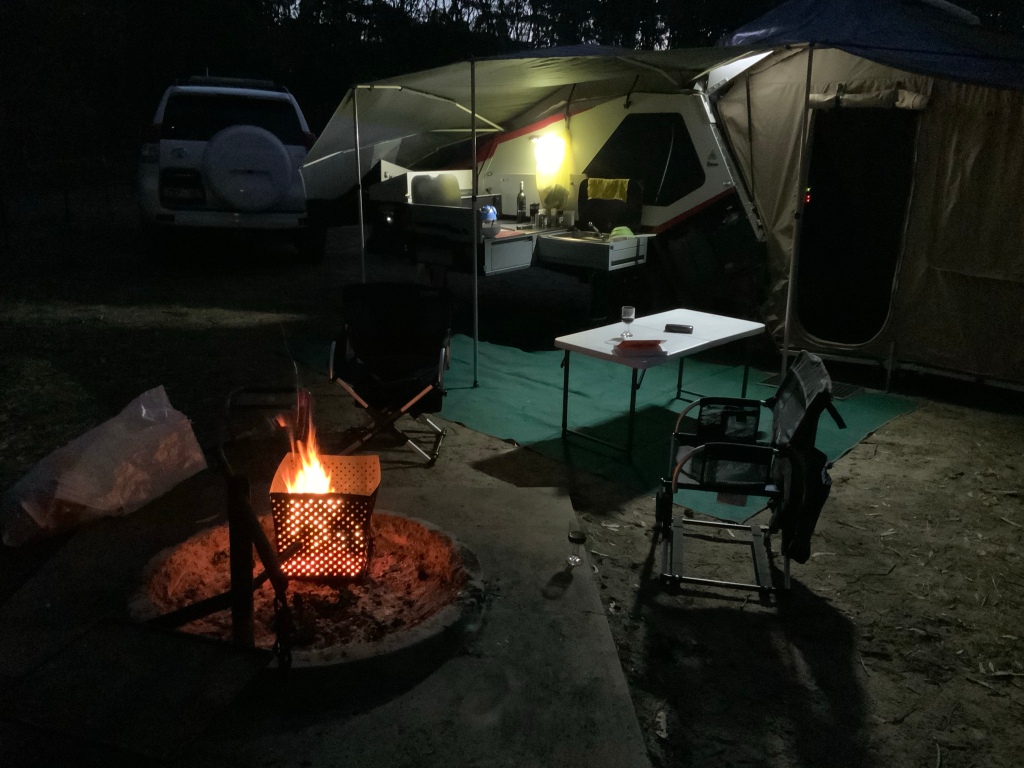
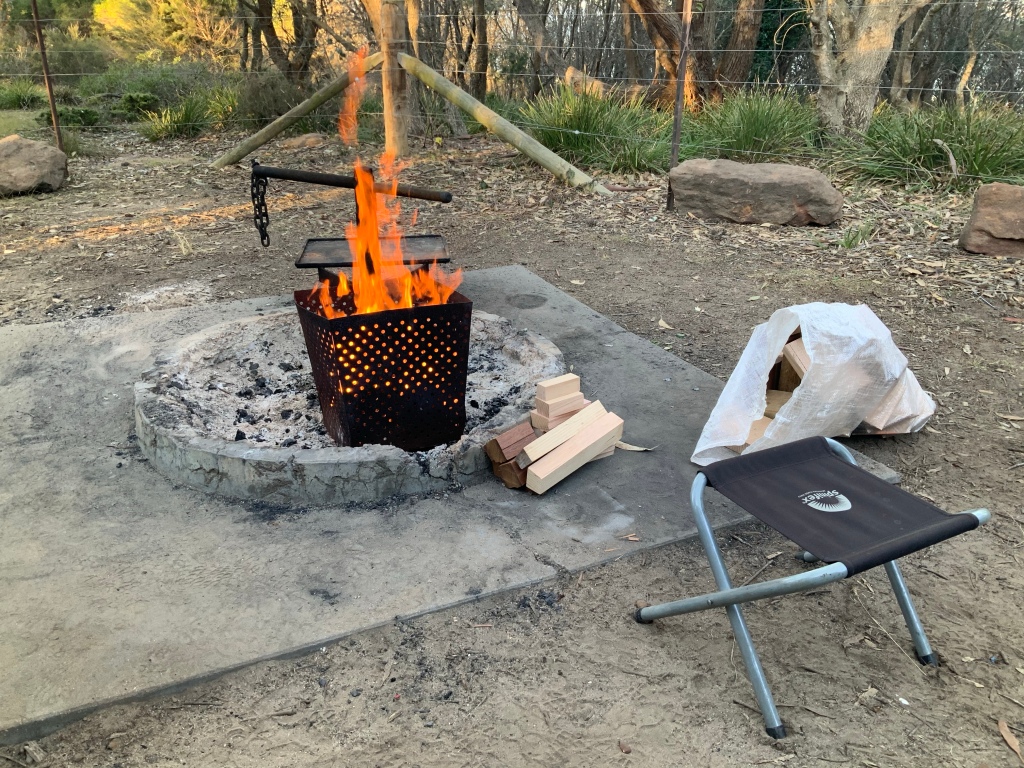
We have retreated to our campsite for the day. The temperature has started to drop as the sun gets low in the north-western sky, prompting us to light the fire and enjoy a glass of red wine before (and most likely during) dinner.
Exploring the National Park on foot
Thursday 2nd July
The night was unexpectedly balmy – and we both commented that it was bordering on hot under the doona and new polar fleece sheets. The forecast for tonight is much cooler, so things should return to the conditions we came prepared for. There is a distinct lack of the usual cacophony of bird song first thing in the morning, which makes it easier to sleep in and start the day at a leisurely pace.
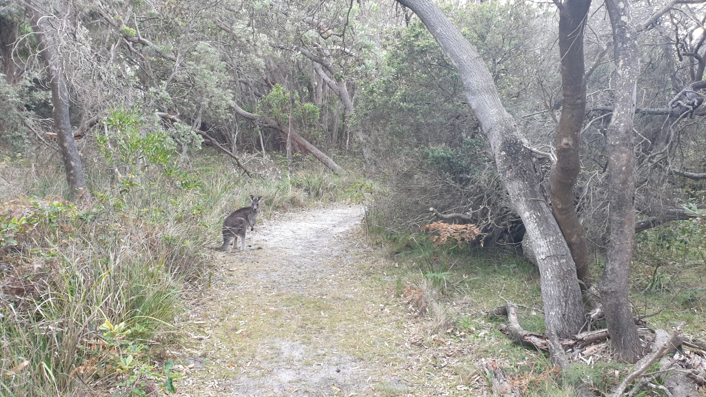
The coastal scrub is made up of twisted banksias and low scrub, with little sign of anything significant being in flower to attract the birds. Small wrens and wagtails scratch around in the dust, fossicking for seeds and small insects. There’s more chance of spotting one of the resident kangaroos or wallabies grazing on the grassed areas around the campgrounds.
While out walking yesterday we had spotted an information board that mentioned more walks to the north – they explored lands that had previously belonged to Sir Kenneth Myer and architect Roy Grounds, and donated to the NSW National Parks Service to managed a few years back. We had agreed yesterday that we would come prepared with food and water and continue following the coastal walk north to this part of the Mimosa Rocks National Park.

The temperature was quite mild and noticeably humid when we set off. Patchy clouds would obscure the sun, then it would burst out from cover making it seem hotter than it probably was. We retraced our footsteps around a very scenic lagoon and up tree-covered sandhills to where the track northwards commenced.
The coastal banksias gave way to taller gums as we climbed up and over the first of three headlands. Bellbirds were in full song as we passed through the taller forest. Spikey plants that seem to be related to xanthorrhoea covered the forest floor. The path dropped down to sea level and we were quickly upon Stinky Bay – a relatively narrow break in the rocky coastline, with a sandy beach covered with debris from past storms.
We walked up and over another headland, followed by a gradual descent into an area that had been home (or possibly an escape) for families from Melbourne – one a retailer and the other an architect. They carved a lifestyle along the shores of a quite stunning inlet far from the distractions of the big cities. We wandered the well-signed remains of a building that in part resembled a yurt, which once had a grassed roof for better thermal insulation. It also harboured a flourishing family of bush rats that would help themselves to any scraps they could find. A decaying geodesic dome remained partially intact. It was constructed of local timbers and served as a hot house that helped keep the kitchen stocked with vegetables.
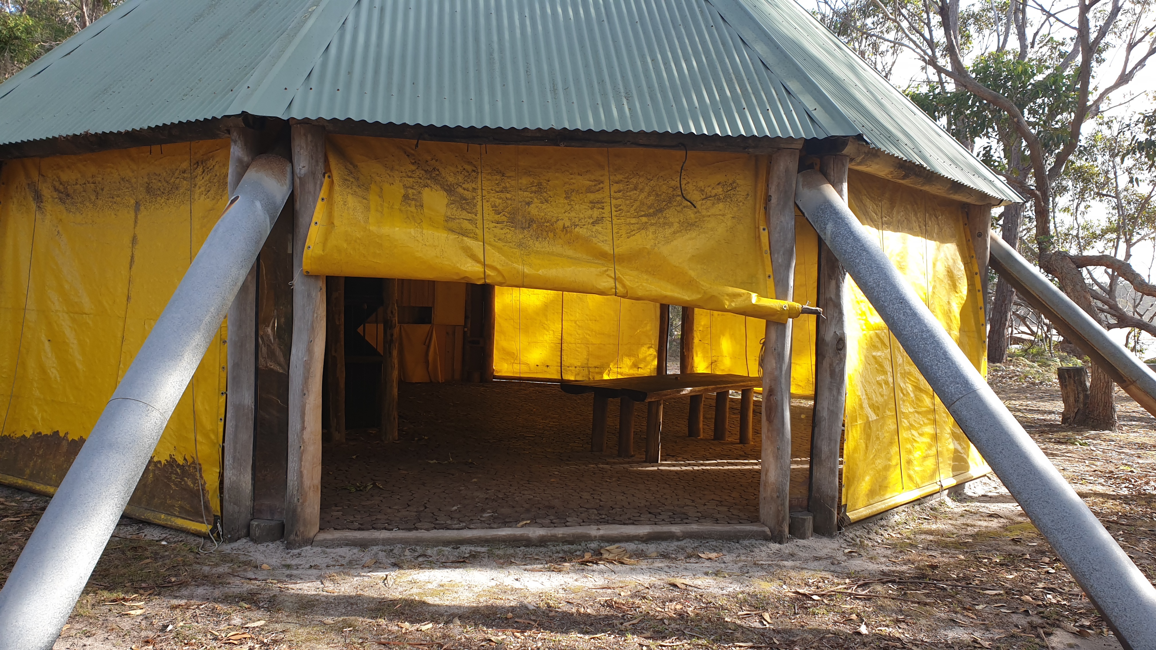

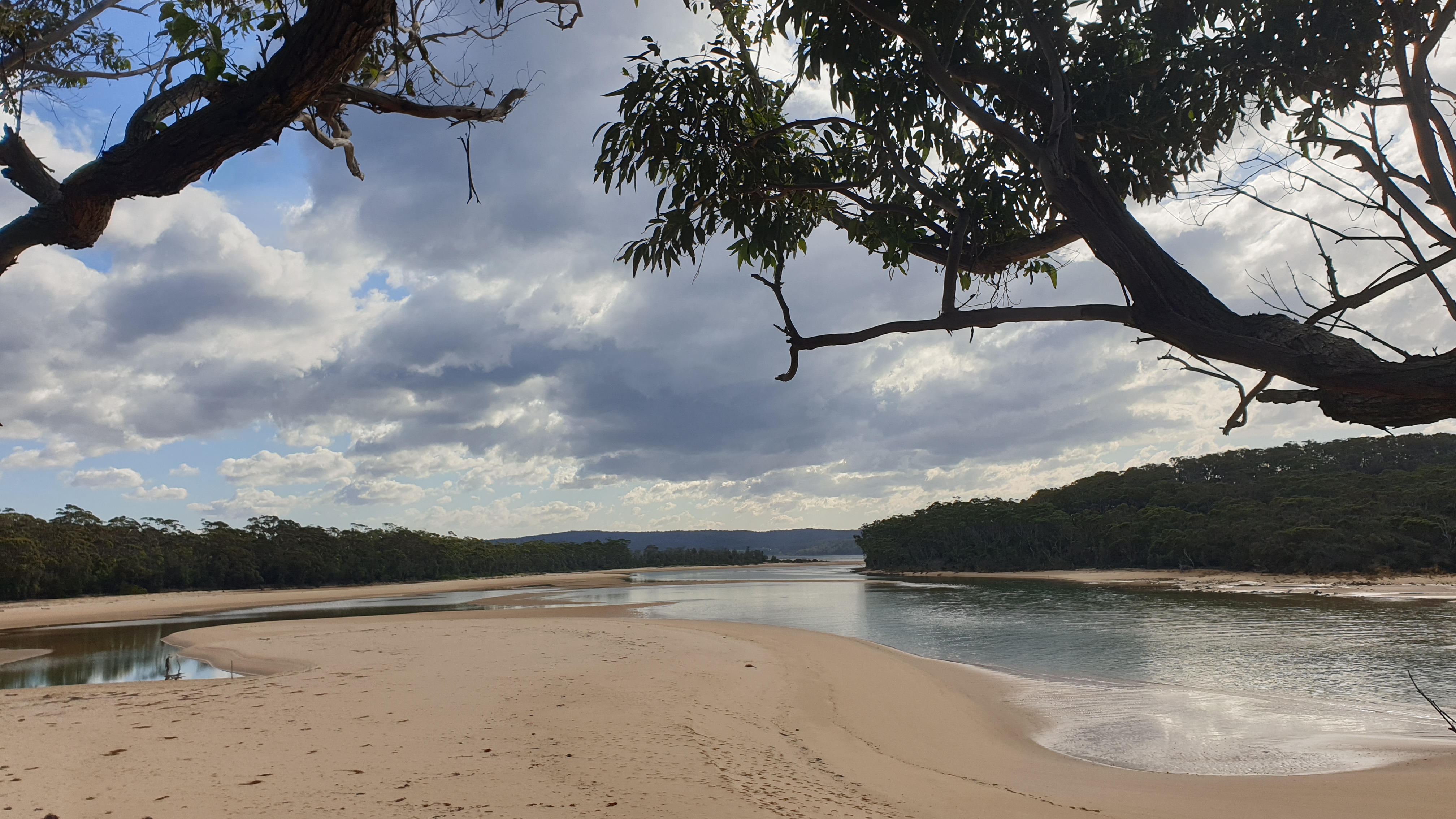
The walking path led to the more grandiose home of the Myer family, with its well-maintained tennis court and decaying nine hole golf course and orchard. There were also the remains of a wood preserving enterprise that was a trial for methods being explored by the CSIRO many years ago. It was quickly relocated when it posed a pollution threat to the nearby inlet. While exploring the information boards scattered through this historical setting we passed fellow walkers who were equally interested with the history of the place.
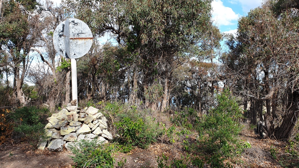
The maps we had studied yesterday indicated a loop walk was possible, and it would allow us to explore more and retrace our steps less. We followed a graded road for about half a kilometre before turning onto a signed walking track that would eventually reconnect with the track we had followed earlier in the day. Down one gully, then back up and over a headland we went, with a detour to a ‘trig’ point atop a headland overlooking the ocean to the east and beaches and headlands to the north and south. The views would have been quite spectacular had it not been for the dense cover of trees across the headland. We enjoyed an apple and drink of water while taking in the brief glimpses of the coastline.
The final descent led us to a lookout and picnic area where our previously-seen fellow hikers had stopped for lunch. We suggested we were following them, they laughed and asked where we were headed. ‘Gillards Campground’ was our reply – they followed with, ‘We’re staying in Tathra’. They then asked where we were from; given the sensitivity of the increasing number of COVID-19 cases in Melbourne, we replied, ‘Best not answer that’, but Wendy followed up with, ‘Not one of the post-codes in lockdown’.
Our new best friends waved us on, wishing us safe travels as we continued down the gradual incline to the shores of the lagoon that signalled we were only a kilometre or two from our campsite. A few more kangaroos and wallabies rushed for the cover of the undergrowth as we continued on our way. We arrived back at camp just after 1:00pm having covered 11 kilometres since departing earlier in the day.
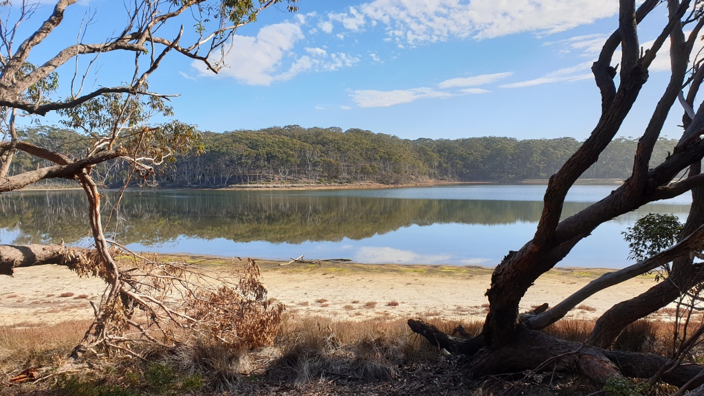
A late lunch followed, the campfire has been readied and we are both feeling a million dollars after a shower. Preparing dinner will become the focus of our attention shortly, followed (hopefully) by watching the St Kilda vs Carlton match on the iPad while tucked away in bed later tonight.
Checking out the local sights
Friday 3rd July
There was insufficient network coverage to watch the football on our iPad last night. It’s funny how easy it is to assume the entire country has excellent mobile network coverage, when that is what we expect when living in a big city. It doesn’t take long for the coverage to fall away to the basic telephone services plus slow / non-existent internet speed.
Today was declared the ‘Explore the Local District’ day. Wendy had plotted a clockwise circuit that would have us retrace our steps back to Tathra, before setting our course for Bega and on to Bermagui before completing the loop and returning to our campsite.
It was around 9:30am by the time we had tidied up after breakfast and set off along the dusty gravel track out of the National Park and back to the road to Tathra. We stopped for some photos along the way before turning onto the Sapphire Coast Drive that would take us into Bega. As expected, it was a drive through undulating hills that served as pastures for numerous herds of dairy cows.
Bega felt like it was home to a lot of history. The fertile valley through which the Bega River flowed must have been a major drawcard as white settlers spread out from the Port Jackson settlement, displacing the indigenous people who benefitted from the abundance of food and fresh water in the region.
The Main Street of Bega was abuzz with predominantly farmers (tourists dress differently) catching up over a coffee to discuss the price of milk, etc. We noted one driver attempting a parallel park in the middle of town, while deep in conversation on a mobile phone – it was held in one hand, while the other hand was attempting to guide the car into the parking spot.
A sizeable bridge crossed the Bega River to the north of the town centre, and a little further on was the Bega Cheese Heritage Museum. We followed the side road past the cheese factory, and stopped in front of a sign declaring the Heritage Museum closed due to the COVID-19 pandemic. We returned to the Princes Highway and continued in our clockwise circuit of the region.

We were aware that, with every kilometre we headed north, we were getting another kilometre closer to the areas devastated by bushfires earlier in the year. As we approached the town of Cobargo there was evidence that the fires had passed through, with trees sporting regrowth and numerous vacant blocks throughout the township, perfectly cleared and levelled with a dusting of green grass breaking through the topsoil. We could only assume buildings once occupied these sites. We contemplated the fate of those who had lived through the fires and were now trying to rebuild their lives.
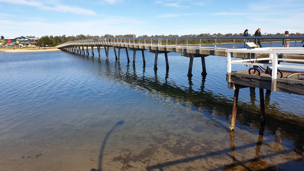
Bermagui is located on the coast, between Batemans Bay to the north and Bega to the south. It hosts a fishing fleet and a recreational marina close to the centre of town – along with a relatively new marina complex that included a café among its many retail outlets. We chose to sit upstairs overlooking the marina and out to the ocean. It was quite warm in the full sun but we persevered and soaked up the sunshine while enjoying a well-brewed coffee.
The walk from the marina to the centre of town was a pleasant stroll. Having bought a few necessities were decided it was time for lunch and settled down in a vegetarian café with a great outlook to the northern headland and beaches. Lunch was surprisingly good and we were glad we had a short walk to let lunch settle before returning on our clockwise circuit of the region.
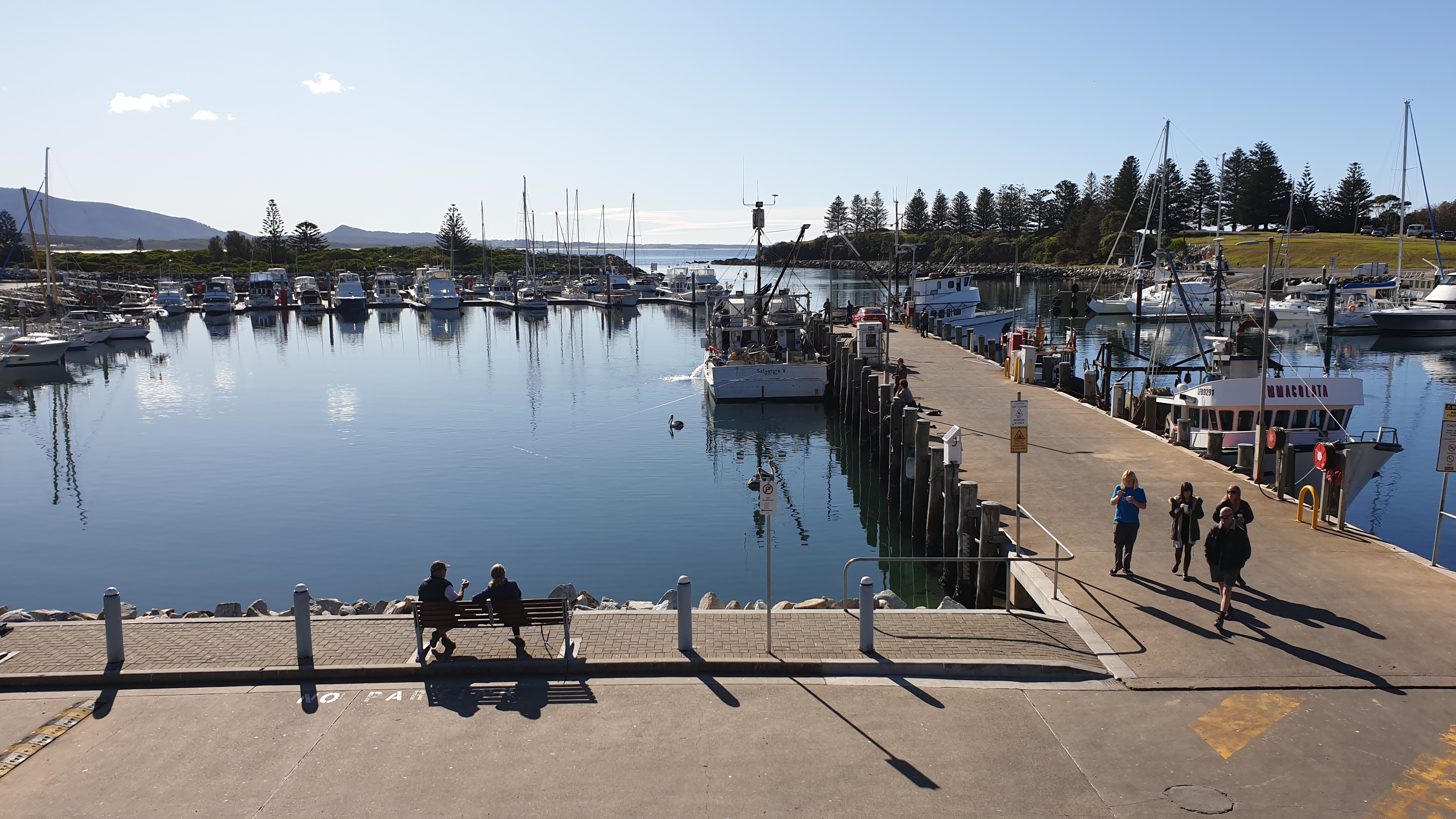
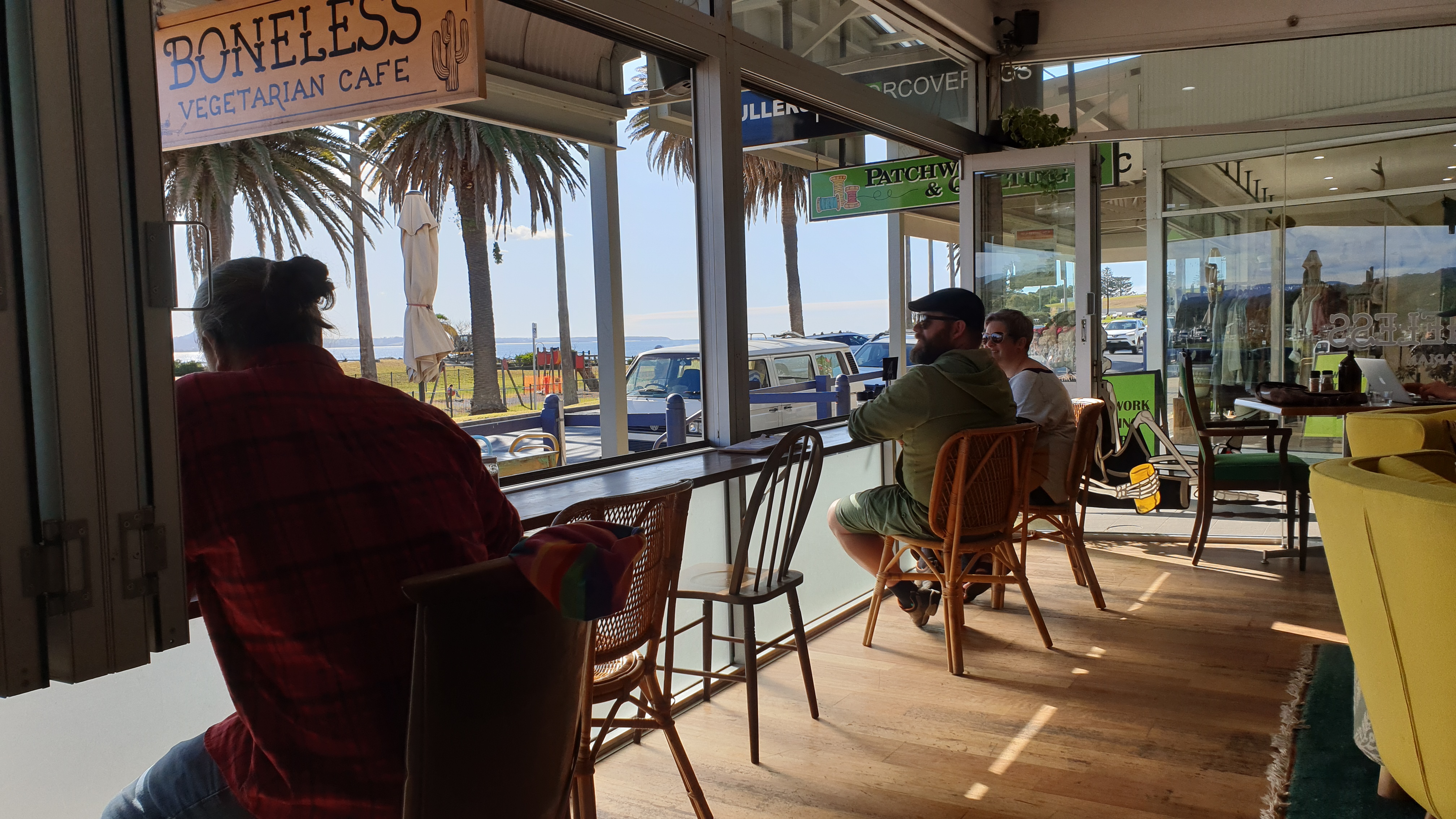
The return to our campsite followed the coastline south, over headlands with views up and down the coast, while occasionally turning inland to avoid an inlet or swamp. We headed down one sidetrack to to see if we could reach the end of one inlet we came upon while out walking yesterday. The track did deliver us to the inlet, but our way was blocked by buildings and residences that seemed to be connected to oyster farming.
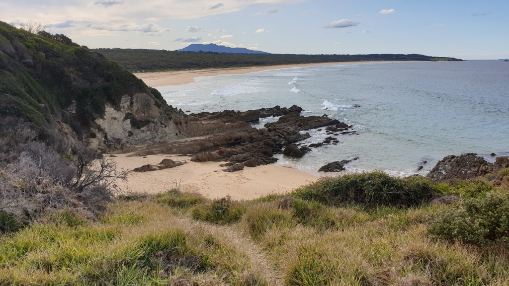
On our return to the campgrounds that have been our home for a few days we noted that the number of campers had increased. Today is the final day of term two for NSW schools and possibly a few people had got away early to secure a campsite beside the beach.
We have road-tested Tim’s electric chainsaw while out and about today, and the timber collected is already burning on our campfire. The sun is very low in the sky and the indications are that it will be a cold night.
Attending to chores and kicking back
Saturday 4th July
The rain came in the middle of the night. Not heavy, but persistent rain that eventually stopped before dawn. Given the relatively sandy nature of the soil, there were no puddles around our campsite and the rain had merely settled the dust on the track in front of our Tvan. It was a chilly morning when we crawled out from the comfort of our heated van and into a cloudless sky, with the morning sun trying hard to warm things up.
We pottered around with no reason to hurry things along, and eventually decided to drive back to Merimbula and Pambula to ‘check things out’ and make use of the facilities they have in town, such as relatively cheap fuel and (hopefully) a decent coffee.
Merimbula is about 30 kilometres south of our campsite, along a secondary road that follows the coastline for much of the way. It is undulating country and setting the cruise control to 100kph is not an option. We detoured slightly to go looking for a geocache in an area that provided access to one of the many waterways / inlets that make boating and fishing popular. It was an idyllic setting and we watched a couple of people launch their tinny and head out for a days fishing.
Our first stop was in Pambula, to top up with the cheapest fuel around. A full tank of fuel would most likely get us home – although forecast headwinds may impact that prediction. We made use of the dump point at a local caravan park that was more like a retirement village, with most sites having their own letter box near the entrance to the park.
Next we returned to Merimbula, in search of a decent coffee. We went looking for a highly rated café out next the aquarium, only to find it closed for the season. We drove over to the surf beach for the next highly rated café where, if the length of the queue was anything to go by, it served decent coffee. We didn’t want to queue for takeaways so we continued on our quest. It was back to the centre of town where we found a licensed café overlooking the water and oyster leases. A corner table out of the cool breeze that looked out over the water had our name on it.
We watched the passing parade who were observing COVID-19 self distancing restrictions in a fairly relaxed manner. The café was doing its bit with hand sanitiser on every table, and the staff were quite diligent in wiping down tables as patrons left. But greetings between patrons that involve hugging and kissing seemed out of place, given the changed habits we have all been encouraged to adopt.
From the café, a short path along the foreshore climbed up to a number of lookouts that provided views back to Merimbula. It seem like the thing to do after lunch, so off we went. The south-westerly breeze was bordering on cold, especially when we were in the shade. The views were worth it though, and hopefully the photos do it justice. It was nice to retreat to the shelter and comfort of our Prado for the trip back to our campsite.
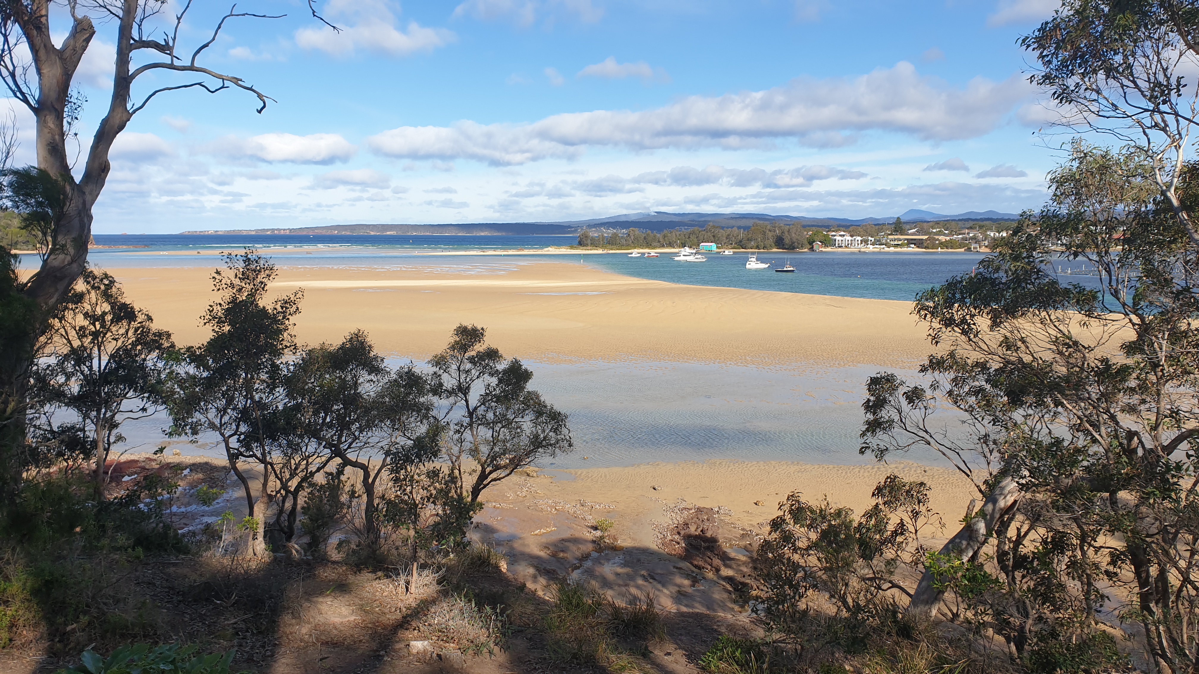
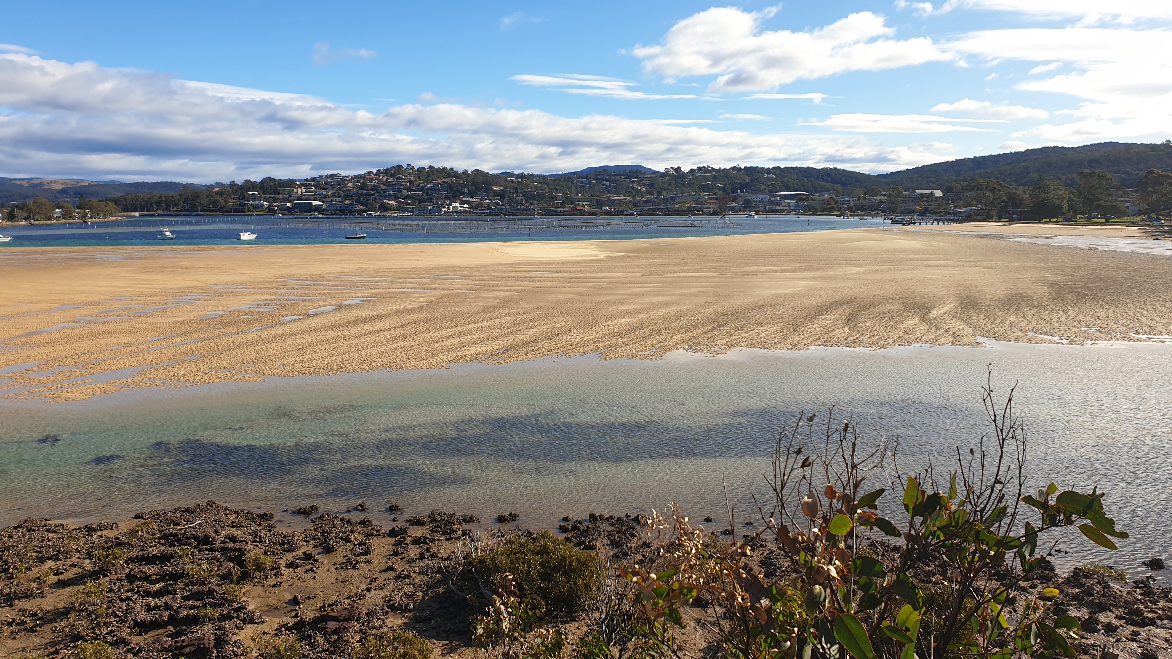
Our camping routine is well rehearsed, and followed with little needing to be said. Ideally we need to get away early tomorrow as it is roughly 600 kilometres, taking about 7.25 hours of driving (according to Google Maps). Things we won’t be needing in the morning can get packed away tonight – such as the free-standing solar panels that have kept our batteries fully charged every day and the shower system that has kept us feeling a million dollars after a few challenging bush walks.
The last of our firewood was burnt while we ate dinner and enjoyed a glass (or two) of red wine. There was enough signal to catch up with family and friends while the fire kept us warm. The cloud cover has largely obscured the full moon as it has climbed into the evening sky. It has also kept the chill away, and we could be in for a relatively mild night.
Time to pack up and return home
Sunday 5th July
The overcast sky that blocked out our last sunset cleared during the night. As a result, the full moon was like a spotlight streaming in through the hatch above us as we slept. While not in a hurry to depart, we also knew we had a long day of driving ahead of us so we were up earlier than normal to get things packed away.
Our campsite was vacated at 9:05am, rubbish was dropped into the bins at the entrance to the camp grounds, and we were on our way along the gravel track back to the main road. The track climbed steeply up to the junction and we speculated that it was possibly the topography that had provided some shelter from the cold winds blowing from the south-west.
The towns of the south coast came and went. Tathra, with its large caravan park on the beach, was bustling with visitors out for a walk and queuing around the local café. Merimbula and Pambula were still waking as we passed through. Eden came and went and soon we entered the bushfire-impacted areas that stayed with us until Orbost in Victoria.
The Princess Highway followed a corridor of blackened trees, some with signs of regrowth and others without any signs of life. Bulldozers had been busy moving fallen trees away from the roadside, and also carving a firebreak back from the road for when the next fires comes.
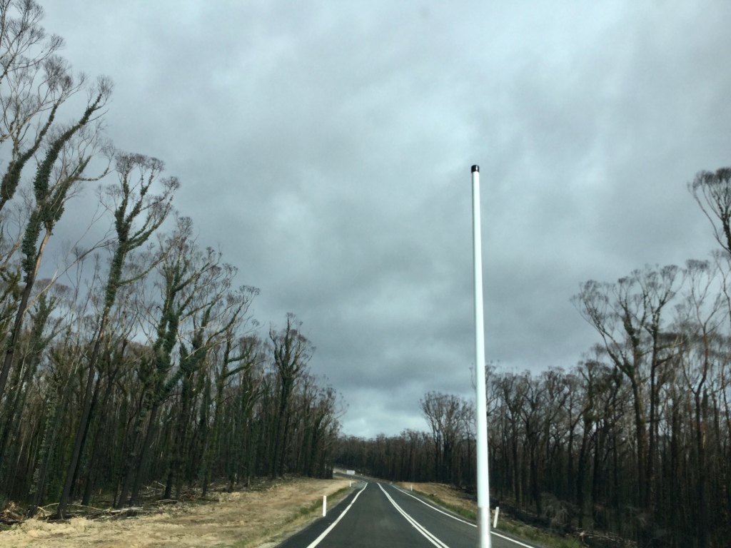
With the COVID-19 outbreak in Victoria headlining the news, and talks of travellers from Victoria being unwelcome in other states, we were interested to see if any measures we being taken to screen those choosing to leave the state during the school holiday period. Thoughts of border checkpoints with travellers being asked for ID came to mind but were dashed when absolutely nothing was apparent at the border (or anywhere near the border).
Orbost loomed as a possible place for lunch. We pulled off the highway to find that Orbost was in lockdown – or possibly just shut because it was a Sunday. The temperature was noticeably cooler than back at our campsite and, with threatening skies overhead, it would appear we benefitted from being based further north.
Bairnsdale was the next option for lunch and we were in luck, finding a café attached to a nursery that was providing appropriate physically distanced table service. We signed in (as is the norm these days) and enjoyed a quick lunch and coffee before the final leg of our homeward journey.
Squalls of rain came and went as we entered the Latrobe Valley that had been blanketed in fog when we passed through a number of days ago. The traffic gradually built up as we passed through Morwell, then Moe and Pakenham; by Dandenong it was very much back to the suburbs. We peeled off the freeway and joined the Sunday traffic, suggesting many people had taken time to get out of the homes and into some fresh air.
The Prado and Tvan were back in the newly-landscaped front drive just a tick past 5:30pm. Essentials were unpacked, with campfire-scented clothes relegated to the laundry and remaining food moved back to the fridge. Light rain has settled in and looks to be our companion for the next few days. By all accounts we got the best of the weather while camped in Mimosa Rocks National Park.
It’s fair to say that this trip up the south coast of NSW has opened our eyes to further trips in the region to explore this coastline, with its mix of sandy beaches, rocky headlands, inlets and lagoons – together with great camping and bushwalking opportunities.
