It was time to leave Bitter Springs and Elsey National Park behind and head south-east towards Camooweal and Mt Isa. The morning at Bitter Springs was just like every other we experienced this trip, with the temperature in the mid-teens when we woke before dawn then quickly heating up to the low 20Cs by the time we eventually departed. It was a short drive back to the Stuart Highway, where Chris jokingly asked the question of Wendy, “Do you want me to turn left or right?” If we had more time the answer may have been “Right” but we will be back again sometime and the answer today had to be “Left”. Mataranka was waking up as we passed through the centre of town. Sprinklers were on, watering the lawns in the gardens beside the highway – and possibly to also keep the dust down during the heat of the day.
Once out of town, sighting the 130 kph sign was enough for Chris to accelerate up to our comfortable cruising speed of 110 kph. The opportunity of driving legally at 130 kph in Australia is only possible in the Northern Territory and some relish the opportunity to do so. It’s when they realise, (a) that the road surface isn’t good enough to sustain such a speed, and (b) that fuel economy goes out the window that most ease back to around 110 kph.
The scenery changed subtly through the day, starting out with tall woodlands comprising various types of eucalypt trees with a dense understorey of smaller trees and bushes. Gradually the taller trees began thinning out, then they eventually disappeared. They would return when we crossed dry creek beds that provided a reliable source of moisture – even if much of it was underground. The scrub also began thinning out, although evidence of recent rains at the start of the year had the ground covered in grasses that were now drying out and dropping seeds that will sprout after the next significant rainfall.

The countryside has also flattened out. There were no more hills to climb or distant ranges to act as nature’s signposts. It’s flat to the horizon, no matter where you look.
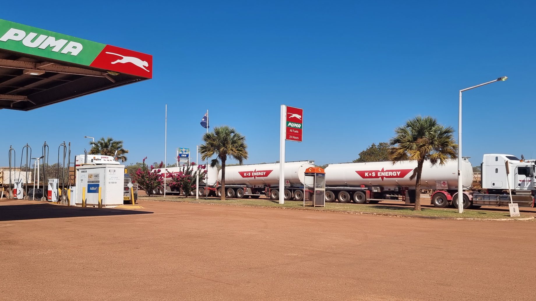
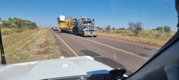
The Highway Inn, just past Daly Waters on the corner of the Stuart and Carpentaria Highways, (the latter being the road to Borroloola) beckoned us to stop, stretch our legs and have a coffee. The Inn is another roadhouse that incorporates fuel, food, coffees, beers, souvenirs and spare parts under the one roof. It is often the case that they are staffed by backpackers looking to extend their holiday visa by working remotely for 3 months. The Inn was no exception with broad English, Irish and Italian accents identified behind the counter while placing our coffee orders. We took our coffees out onto the verandah and watched the road trains come and refuel before continuing on their way in a cloud of red dust.
Our journey continued south as far as Three Ways, just north of Tennant Creek. Three Ways is the intersection of the Stuart Highway and the Barkly Highway that we are now following. Signage warned travellers of roadworks on the Barkly – and they were right! Lots of roadworks, with most down to a single lane controlled by radio-activated traffic lights. It was a slow drive for some time before we finally put the roadworks behind us.
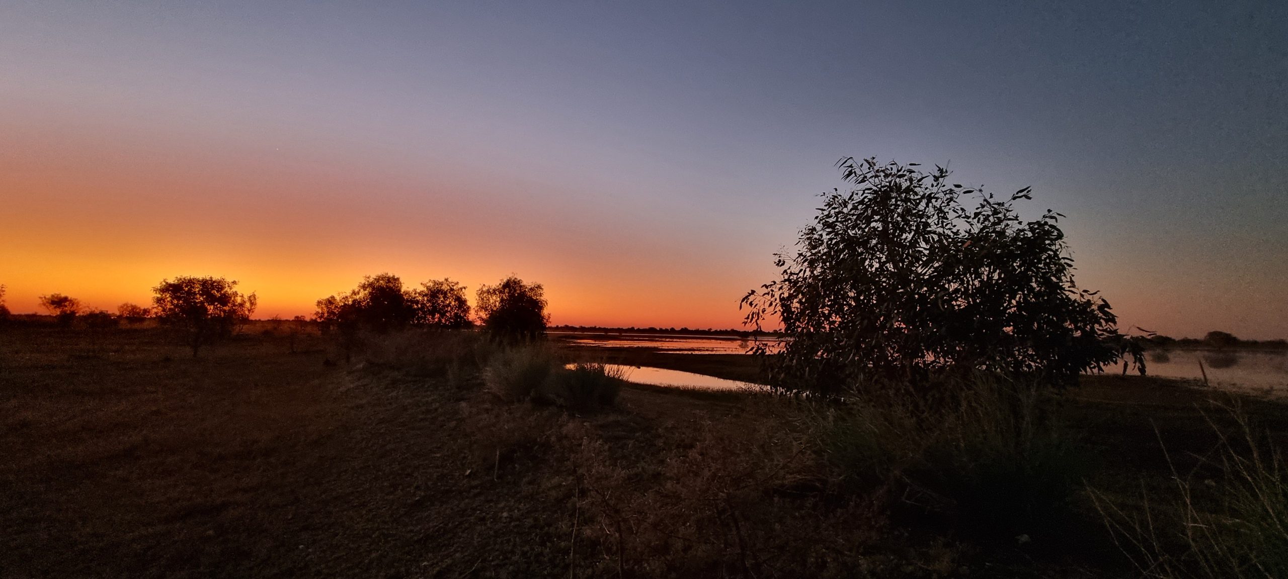
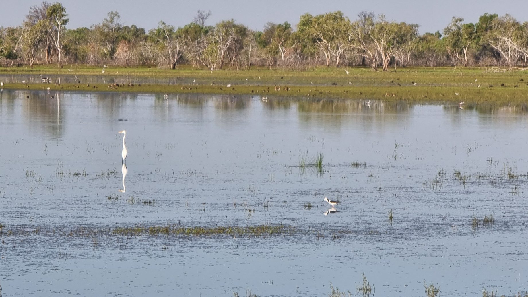
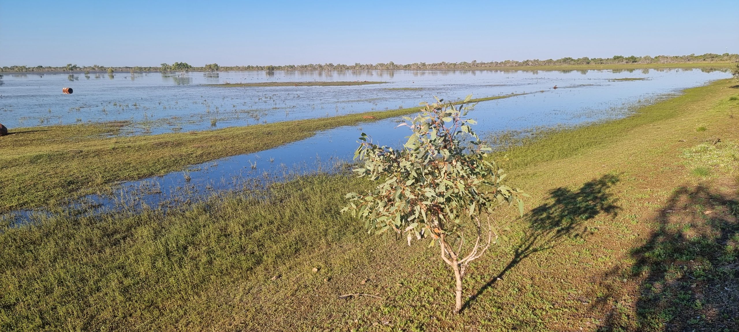
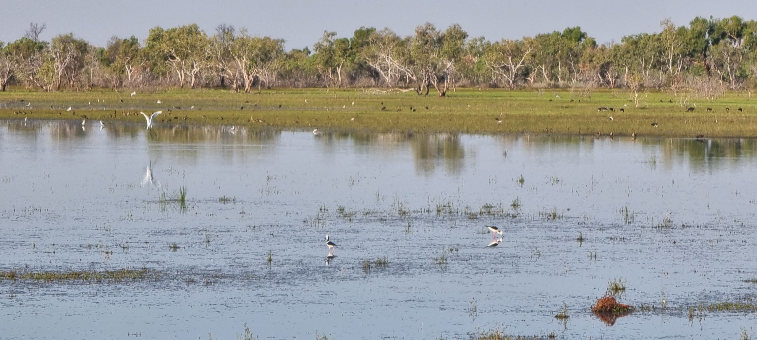
Frewina Rest Area is what is known as a ‘free camp’ beside a large shallow lagoon full of birds of all descriptions. Campers can stay here at no charge for up to 24 hours, but must be self-contained. It overlooks a large lagoon frequented by many birds all making their presence heard.

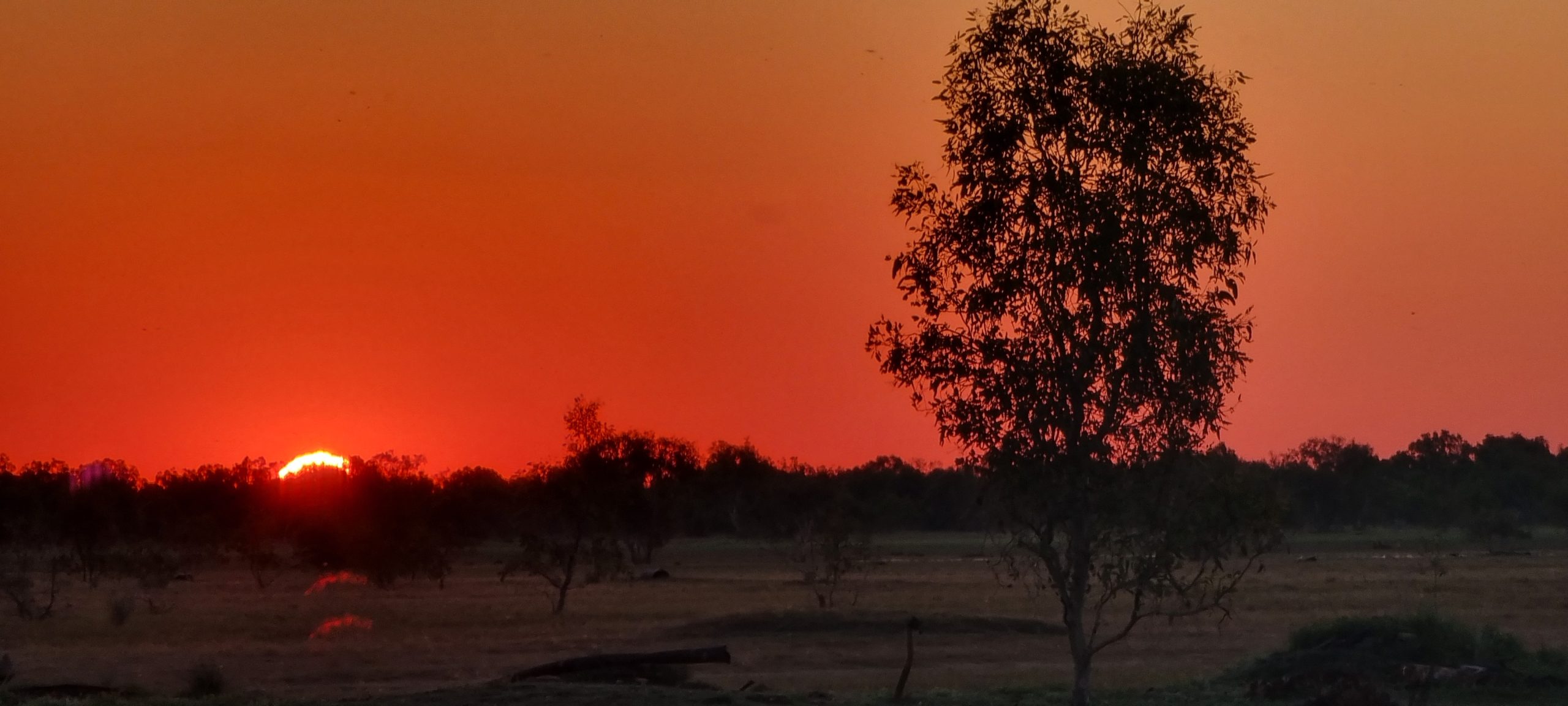
It is situated roughly 230 kms west of Camooweal where we are headed tomorrow. Having covered over 650 kms today we can sleep in tomorrow – if the birds also sleep through sunrise and don’t wake us up. Another stunning outback sunset closed out our day on the road.