For the first overnight stop since leaving Melbourne the heater in the Tvan was not needed – neither last night nor this morning. This is a clear sign that the conditions are warming up as we continue our journey north.
The Devil’s Marbles campground was full by the time we called it a night yesterday. It was surprisingly quiet during the evening given the number of people camped in at close quarters.
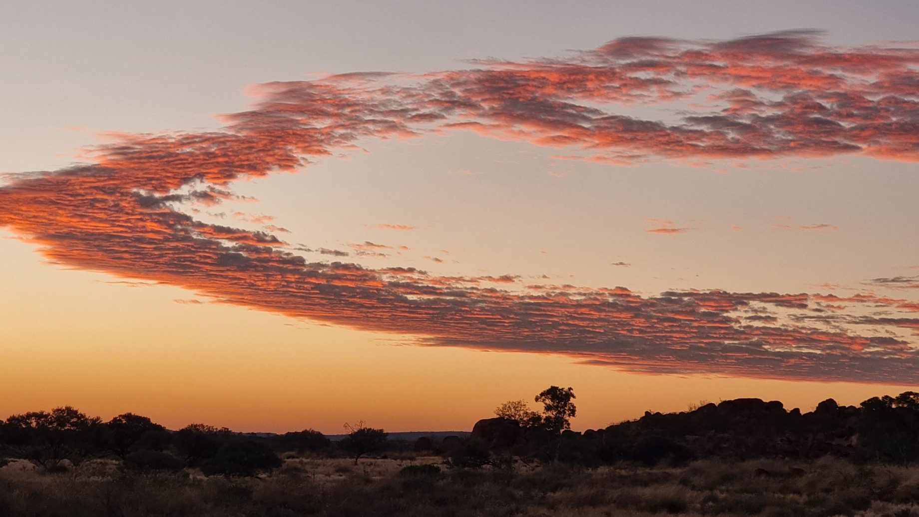
Chris was up just after first light, at around 6.30am. He made himself a cup of tea and sat watching the sun rise above a sea of grasses that swayed gently in a light breeze that was blowing from the north east. The threat of a bush fire heading our way during the night had abated, with hardly any smoke evident on the horizon to the east.
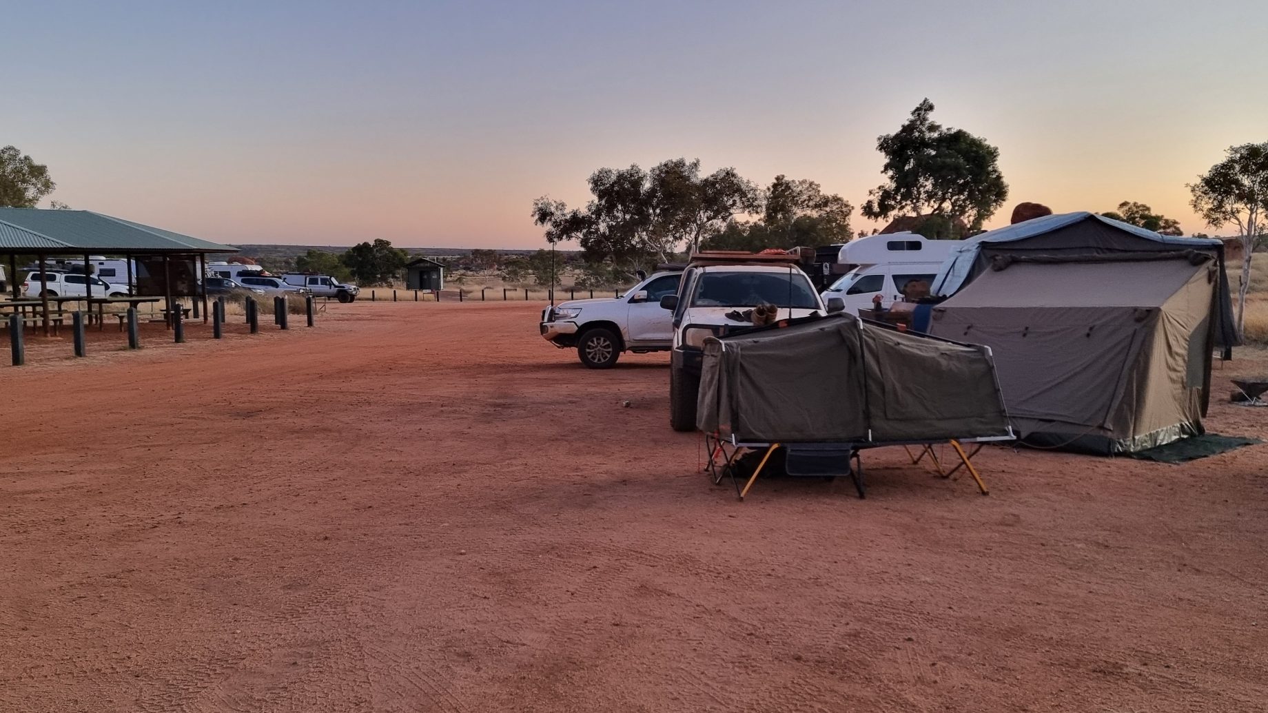
Slowly the sounds of campers waking and dealing with the chores necessary to feed themselves and pack before hitting the road cut through the early morning silence. Some campers had climbed the short distance to a lookout to watch the sun rise, while others enjoyed more time in bed. We were packed quickly and possibly the third vehicle to leave the campgrounds while others were still emerging from their swag, tent or caravan.
Tennant Creek was the first (and only) significant town we passed through today; it was also the cheapest place for fuel before our final destination. We stopped and took advantage of diesel fuel at $1.98 per litre. Having a 150 litre fuel tank allows us to be more selective, as we don’t have to refuel at every opportunity.
The town of Tennant Creek has had a number of issues within its indigenous community over recent years. Shopfronts are protected by roller shutters, with windows barred. Houses are also surrounded by high fences. We heard on the radio that a number of youths broke into a service station overnight and made off with miscellaneous items. Fortunately nobody was hurt during the incident.
Heading north from Tennant Creek are a series of roadhouses providing travellers with fuel, food (of varying standards), toilets and possibly accommodation. There are also plenty of roadside stops about 50kms apart. Some are for trucks only so the drivers can meet their mandated rest hours per day. Others are dedicated to travellers only and trucks are not allowed.
It was lunch time when the Darrimah Roadhouse appeared on our in-car map and, on arrival there, we found some welcome shade under a large tree where we pulled up. Weak mobile phone reception was available so we called home while the opportunity presented itself. We have clearly passed from a desert landscape into a tropical one, with tall trees and a green understorey. Sections of the Stuart Highway are still being repaired after flooding between Elliott and Mataranka closed a 300km stretch of road over the Christmas period.
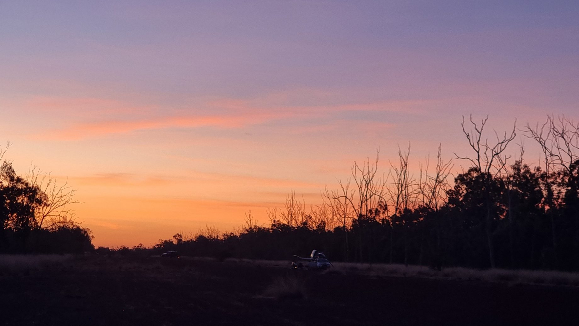
Our final destination for the day is the WWII Gorrie Airfield, set back about 1km to the west of the Stuart Highway and about 10kms north of the small town of Larrimah. WWII facilities are scattered across the north of Australia – from Exmouth and Broome in Western Australia, to the airfields and hospitals south of Darwin in the Northern Territory, to even more airfields on Cape York in Queensland. We have driven about half a kilometre north along the runway to avoid the busy southern end that fills with late arrivals closer to dusk.
Gorrie Airfield was named after a flying officer who was killed in action in 1942. At its peak the establishment here comprised over 6,000 RAAF personnel. The runway is made of crushed (red) rock and appears to be in such good condition that aircraft could still use the runway if need be.
It’s only a short drive to Mataranka and the Bitter Springs caravan park tomorrow so the campsite on the runway is a great launching pad to get there early. The caravan park doesn’t take bookings and sites are allocated on a first-in basis. We are both looking forward to a lazy few hours in the thermal spring waters tomorrow afternoon.