Wednesday 27th July
It was pack up morning for us today. We had come to Nitmiluk NP to tackle a few of the walks and we achieved what we set out to do. We had also braved the icy waters of the camp ground swimming pool on more than one occasion, and lived to tell the tale. Today we were up at 7.00am and back on the road into Katherine by 8.30am. It was good to be leaving the commercial camp ground behind – living on top of your neighbours isn’t something we enjoy, but we accept it as a necessary evil at times, in order to visit some of the places we want to explore.
Wendy had prepared another, smaller than usual, shopping list of required supplies to see us through some of our time in Kakadu. We also had a dump point to visit, postcards to send to the grand kids, and fuel to get if it was still available at the price we paid a few days ago. Whilst going about our chores we passed a hotel on the main road through town, which had its doors and windows all protected by security screens. There was a prominent, long list of conditions that had to be complied with if entry was to be allowed. One such condition was ‘No Humbugging’, and this required Google assistance to decode. We now know that it’s a term that has its origins in the way indigenous people have a culture of sharing and looking after family – except that humbugging is taking matters to an extreme, where money is demanded of a family member (often senior) with no intention of it ever being paid back.
The self service fuel depot still had diesel at the price we paid the other day, but unfortunately the bank payment system was down. We had plenty of fuel, so continued on our way without giving it another thought.
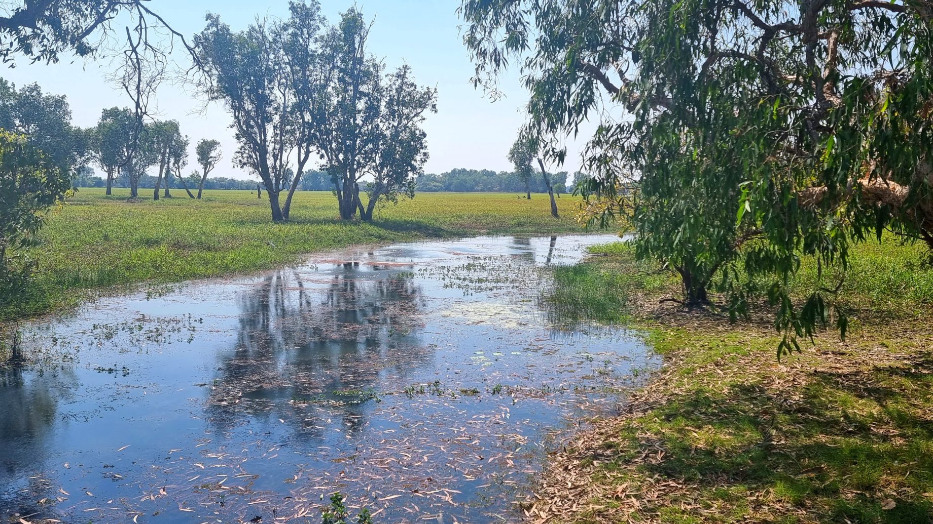
Edith Falls was an appropriate place to head for lunch on our way to Kakadu. These falls offer a relatively safe opportunity for a swim, as rangers check the water hole at the base of the falls regularly for saltwater crocs (signs warn that this process is thorough, but not without risk). Other signs advise that freshwater crocs feed in the water hole after dark and swimming should be avoided between 7.00pm and 7.00am every day. The falls were running, but there were very few people in swimming and those that tested the waters commented that they were freezing. We therefore decided against a swim and, instead, enjoyed lunch in the shade of some trees before returning to our drive north.

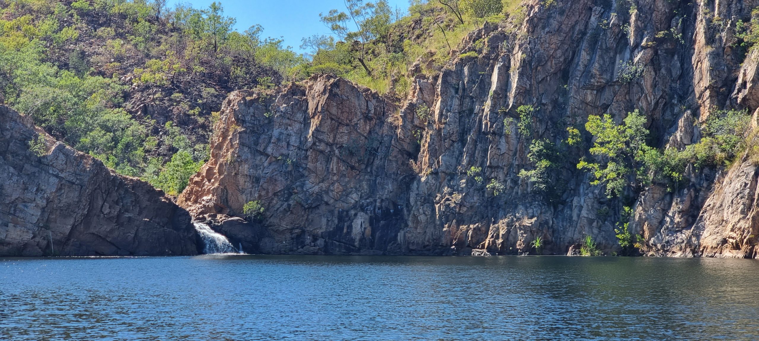
Our time on the Stuart Highway was over soon enough, as we turned onto the Kakadu Highway at Pine Creek. It is then 58 kilometres from this turnoff to the entrance to Kakadu NP. Smoke appeared on the horizon, and we speculated a cool burn might be underway to help with weed / land management. Chris slowed down, as cool burns tend to flush wildlife out of the undergrowth and bring the whistling kites out in great numbers as they swoop down on prey trying to escape the flames. The fires were burning alongside the road, with no one overseeing things – it may have been an ‘accidental’ cool burn.
Our intention had been to stop at Kambolgie campground, on the track that leads to Koolpin Gorge in the south and Gunlom Gorge to the north. Gunlom has featured in many Kakadu promotional photos and videos, with its natural infinity pool. Unfortunately, a new walking trail that was created at Gunlom about 18 months ago violates a sacred site and, understandably, the traditional owners have closed Gunlom to visitors until an alternative trail is developed. The track into Kambolgie was badly corrugated in places, and typically dusty for this time in the dry season. The campground was to serve as a base for some walks we had planned to do, but when we arrived we discovered that the camp grounds were rocky, not particularly level, and had little shade from the 32C temps that are the norm during winter here.
The decision to continue further north into Kakadu was therefore an easy one, and we bounced back across the corrugations to join the Kakadu Highway once more. Wendy found a number of positive reviews for a camp ground, Mardukal, beside the Jim Jim River – just south of the Cooinda commercial facilities that we have stayed at previously. We knew as soon as we inspected the camp grounds that they would serve as an excellent base for us for the next few days.
The resident campground dingo has already made our acquaintance. Firstly, when we were setting up, she swung by to see what was going on – before making a raid on the next campsite about 25 metres away, scurrying off with something to chew on when one of the campers appeared. She returned again when we were preparing dinner, possibly lured by the smell of tinned tuna which had been drained into the fire place. This dingo is not underfed, and is obviously quite accustomed to having people around.

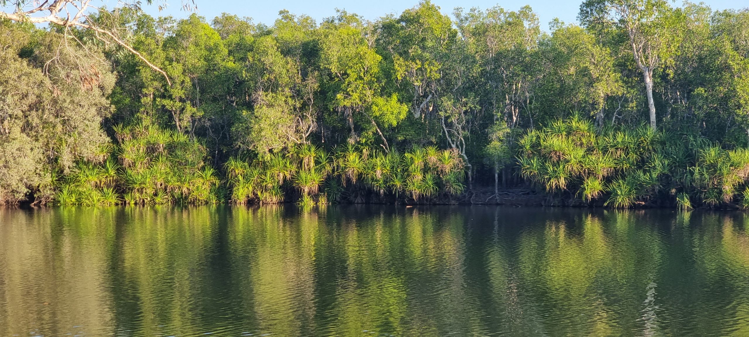
Once set up we headed off for a walk to the nearby billabong, hoping to catch a glimpse of the resident croc that often makes an appearance. We weren’t so lucky, but Chris will be back tomorrow afternoon with his camera to see if he can get a shot (or two) of the impressive lizard. Tonight’s blood red sunset was helped along by the smoke that hung in the air from cool burns elsewhere in the national park. It could make for an equally impressive dawn sky.
Thursday, 28th July
The sound of people departing the campground at 6.00am woke us this morning. We assumed they were heading up the road to the Yellow Water dawn cruises that, from our experience, depart Cooinda at first light so you can watch the sun rise over the Yellow Water wetlands. We rose at around 7.00am to a cool, still morning under clear skies. We listened to, and watched, others packing up while we sat back and enjoyed an unhurried breakfast (not that we ever really do hurry our breakfasts) and watched the day start around us.
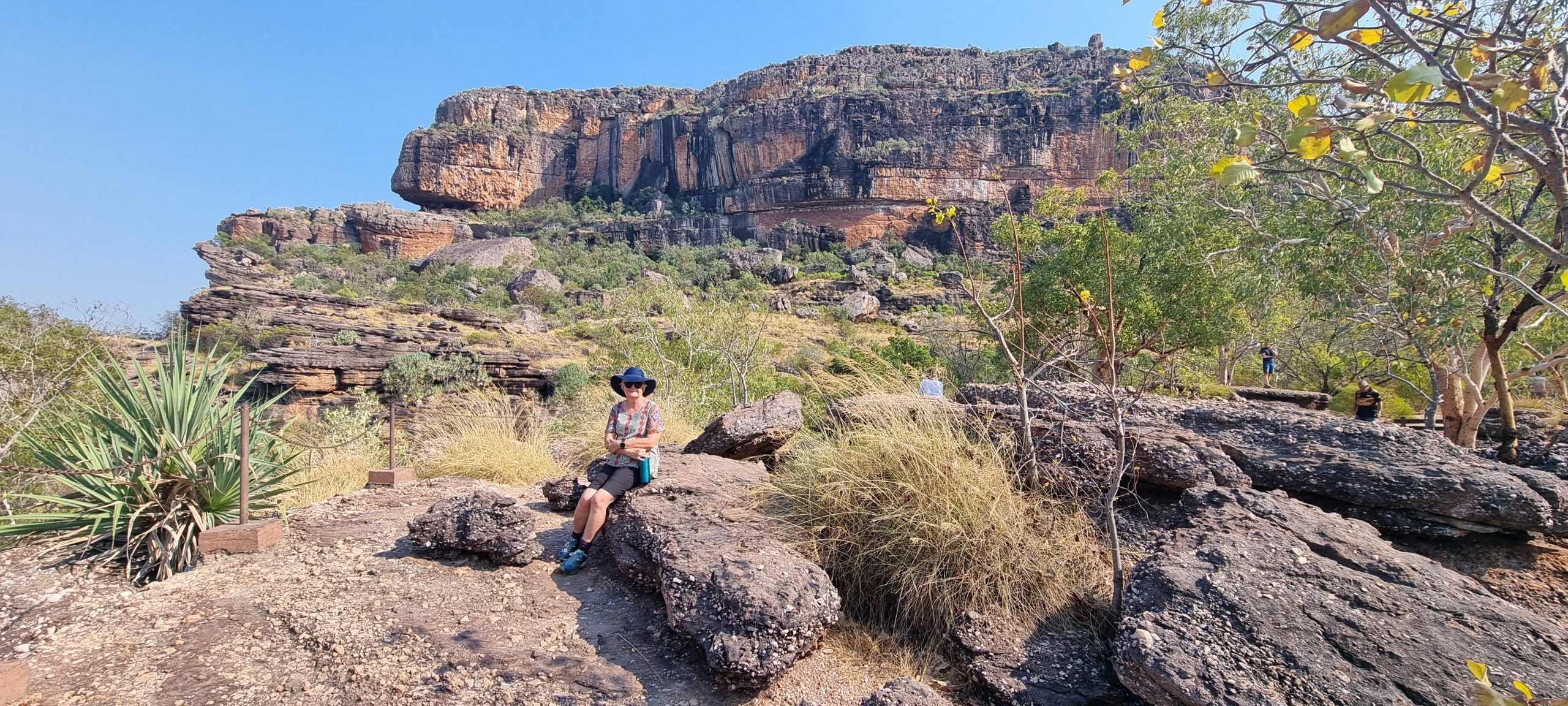
Our rough plan for the day was to revisit Burrangkuy (Nourlangie), a major rock escarpment that is significant for its place in the lives of the First Nation people. There is a popular short walk that highlights ancient rock art, together with a billabong that is a bird-watchers delight. There are other parts of the sandstone country around Burrangkuy that we also wanted to check out, and possibly put on the agenda for another day.
The temperature was up to 22C when we set off for the relatively short drive to Burrangkuy – passing turnoffs to popular tourist destinations (eg. Jim Jim Falls) and crossing a number of creeks including Nourlangie Creek #1, #2 and #3 – all permanent water holes that interlink and flow into the river systems in the wet season. We arrived at the popular rock art walk to find a number of buses and vehicles had already grabbed a spot in the car park. The walk through the rock art sites, including a communal shelter/cave that has been home to many First Australians over thousands of years, is relatively short. It also includes a lookout that offers great views of the sheer cliff face which forms part of the escarpment separating Kakadu from Arnhem Land.

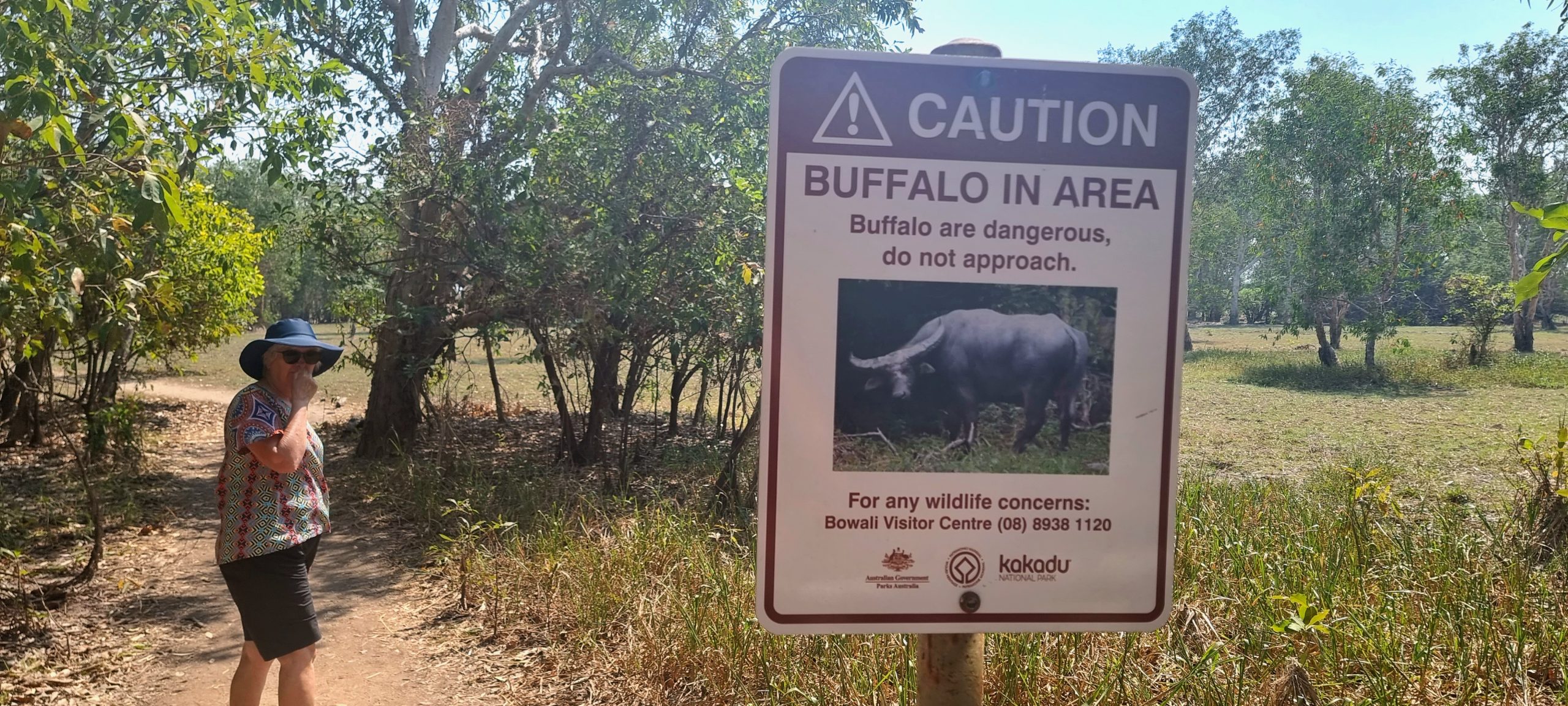
We drove the short distance to the nearby billabong to see if it still had water in it; we can confirm it did. It looks like it might dry up by the end of the dry season, but when we were there it still contained enough water to sustain the lives of many birds, potentially crocs, and a number of feral animals including buffalo and wild pigs. There was plenty of signage warning of the presence of crocs and ferals, and to avoid them all if sighted. The walk around the billabong was about 3 kilometres, and included a number of vantage points where life could be observed through clearings in the paperbark trees. Ducks, magpie geese, cranes, kingfishers, ibis and jacana were there in numbers. We spotted a kangaroo that took off when it saw us on our walk. No crocs were noted, but we suspect they might be more active in the evenings when the feral animals come by for a drink.

Our next destination was Kubara, a walk to a series of rock holes on the northern side of Burrangkuy. We were mostly heading there to check out the drive in and the conditions in the area where the walking track was located. The drive in was on a generally good track that was corrugated in parts – but nothing too challenging. We also noted signs to another rock art site that we will include on our list of to-dos.
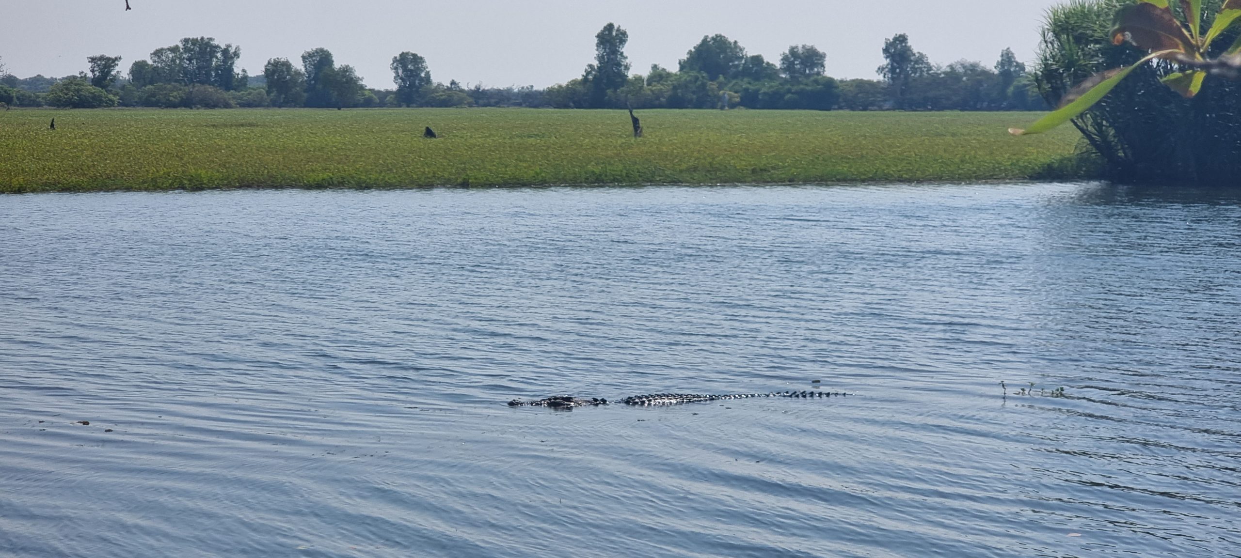
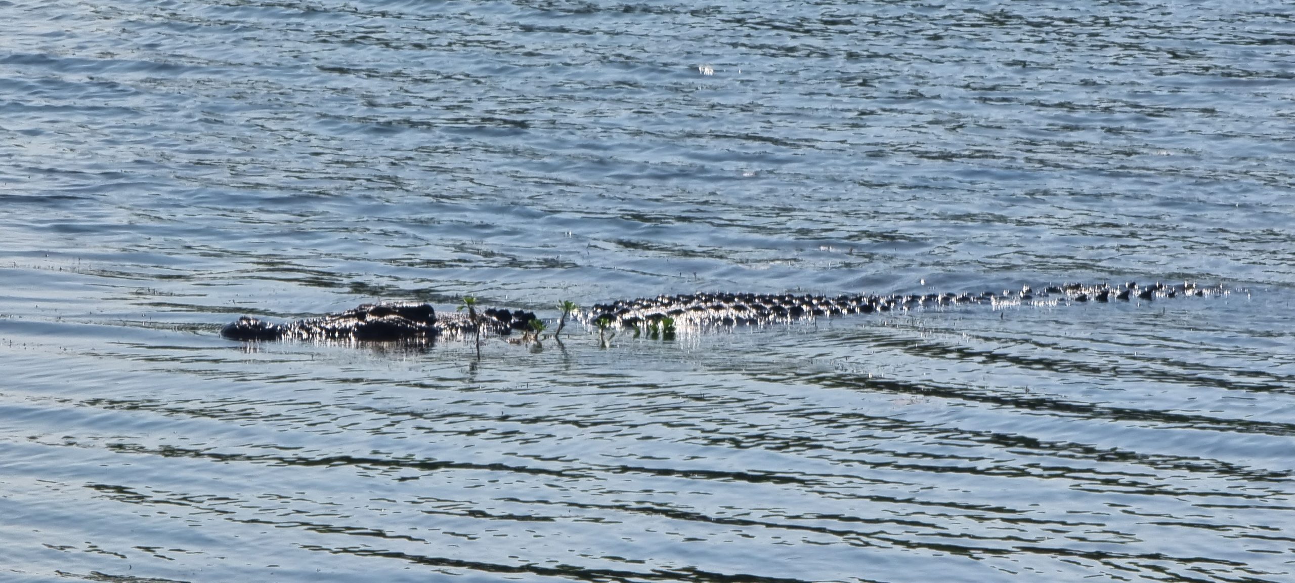
Our return to camp took a planned detour via Yellow Water, where there is a short (but interesting) elevated walk across the lower end of the billabong area used as a starting point by many of the Cooinda cruises. With patience, there are all manner of wildlife to be seen – including buffalo off in the distance, many and varied birds darting through the trees, barramundi (that were not interested in the frog-like lures being used by a couple of guys trying their luck) and, of course, crocodiles. Two were basking in the sun, while another cruised by no more than 15 metres from us. Seeing them in the wild is always a great experience (so long as there is a safe vantage point to view them from).

The Cooinda facility was close by, so we parked in the visitor car park and went for a walk through the grounds to see what had changed since we visited here back in 2011. The pool area looked very familiar, while we noted work had been done to expand the bar and outside eating area. The campgrounds looked much the same, as did the reception area and shop. Diesel fuel at 269.9c per litre was possibly the most expensive we have seen on this trip away. We may hold off refuelling until Jabiru in a couple of days, hoping that it might be less expensive then.
We had come prepared, and it took very little prompting before we were changed and cooling off in the well-shaded swimming pool at Cooinda Resort. It was hitting 33C when we returned to the Prado for the short drive back to our camp site. The swim had us feeling refreshed after a couple of walks this morning.
On returning to camp we have found the solar panels have done their work, with the batteries back up at 100%. When camping in areas where power, water and gas are finite commodities, it is always good to know our set up is staying ahead of demand. Without power we have nothing to keep the fridge cool and the lights on at night.
We will wait until the day begins to cool (at around 5.30pm) and head down to the billabong to watch the sun set – and hopefully spot the elusive croc that calls that stretch of water home.

Friday, 29th July
Our plan for the day was firstly to revisit a newly discovered (for us) rock art site on the north-eastern side of the Burrangkuy escarpment, secondly to check out the cultural centre close to Cooinda resort, then cooling off in the pool at the resort. The day started like most, with an early morning chorus of bird song from the resident bower birds and kookaburras. Their early morning wake up calls would put most rooosters to shame, as they are both loud and unruly. The campers who were (we presume) booked on the dawn cruise at Cooinda were first to leave, followed by a trickle of other departures during the day – with our closest neighbours departing at around 1.00pm for a destination somewhere in the south before returning to Darwin for two days to watch a friend perform in the Darwin festival.
The drive back to Burrangkuy takes about 30 minutes, and it was a further 5 minutes to the rock art walk at Nanguluwurr. The walk itself was about 2.5 kilometres return, with a further 300 metres return climb to the base of the overhang where the rock art was sheltered from the weather. There were two other vehicles parked when we set off at 9.00am. The walk followed a rough ‘Management Vehicles Only’ track, through low-lying country that would most likely be inundated with water in the wet season. A cool burn had recently been through the land to the right of the track, with puffs of smoke still appearing from some of the larger dead trees on the ground.
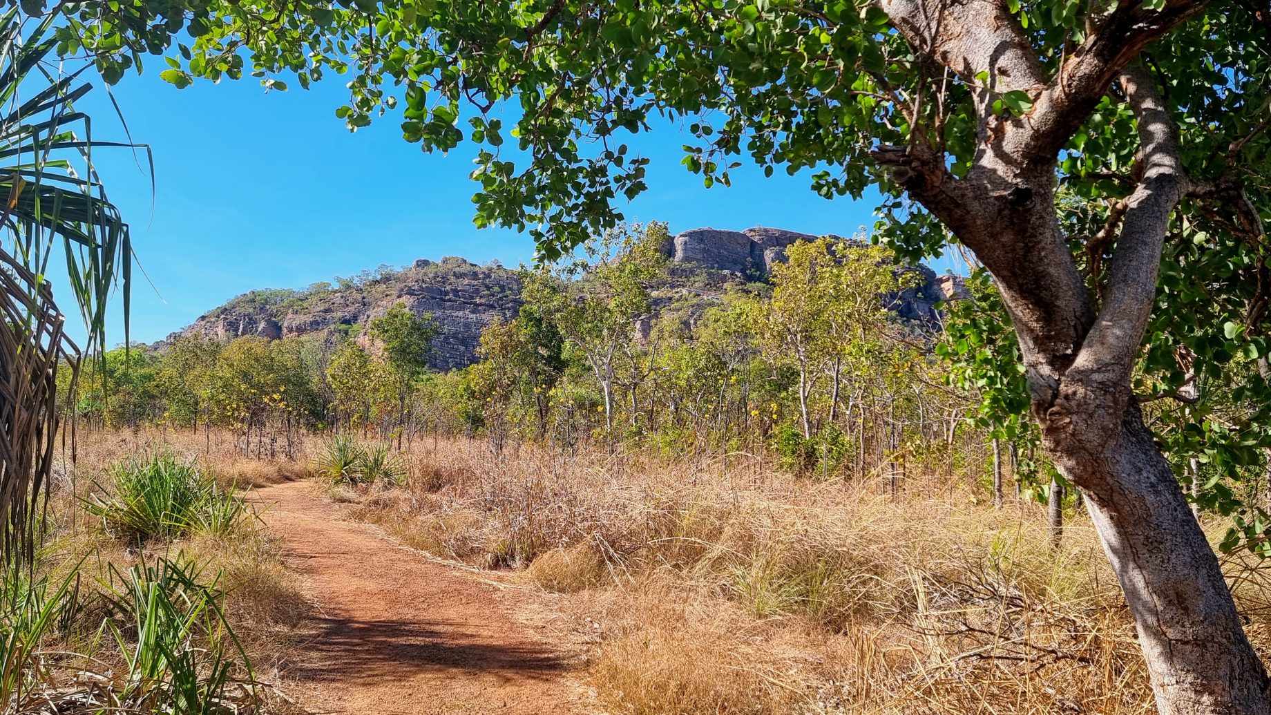
The walk to the rock art site crossed over the challenging Barrk walk, which climbs over the escarpment we visited yesterday and continues in a loop back to the main car park – a distance of 12 kilometres. We had thought about doing this walk, but the heat of the day would wear you down pretty quickly so we decided against it in the end.
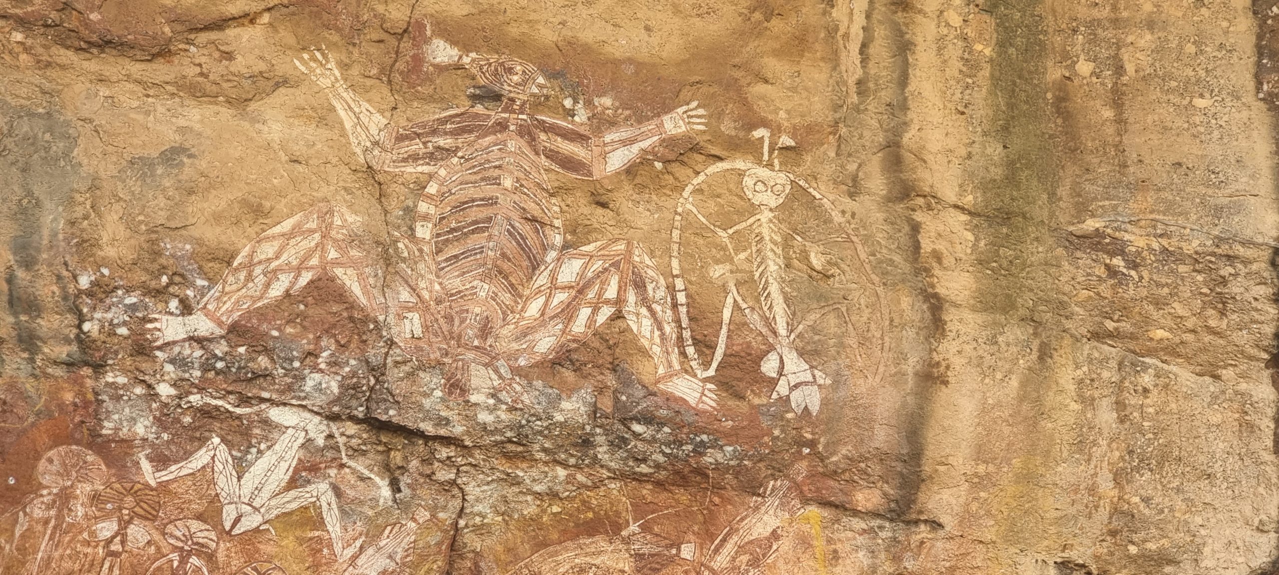
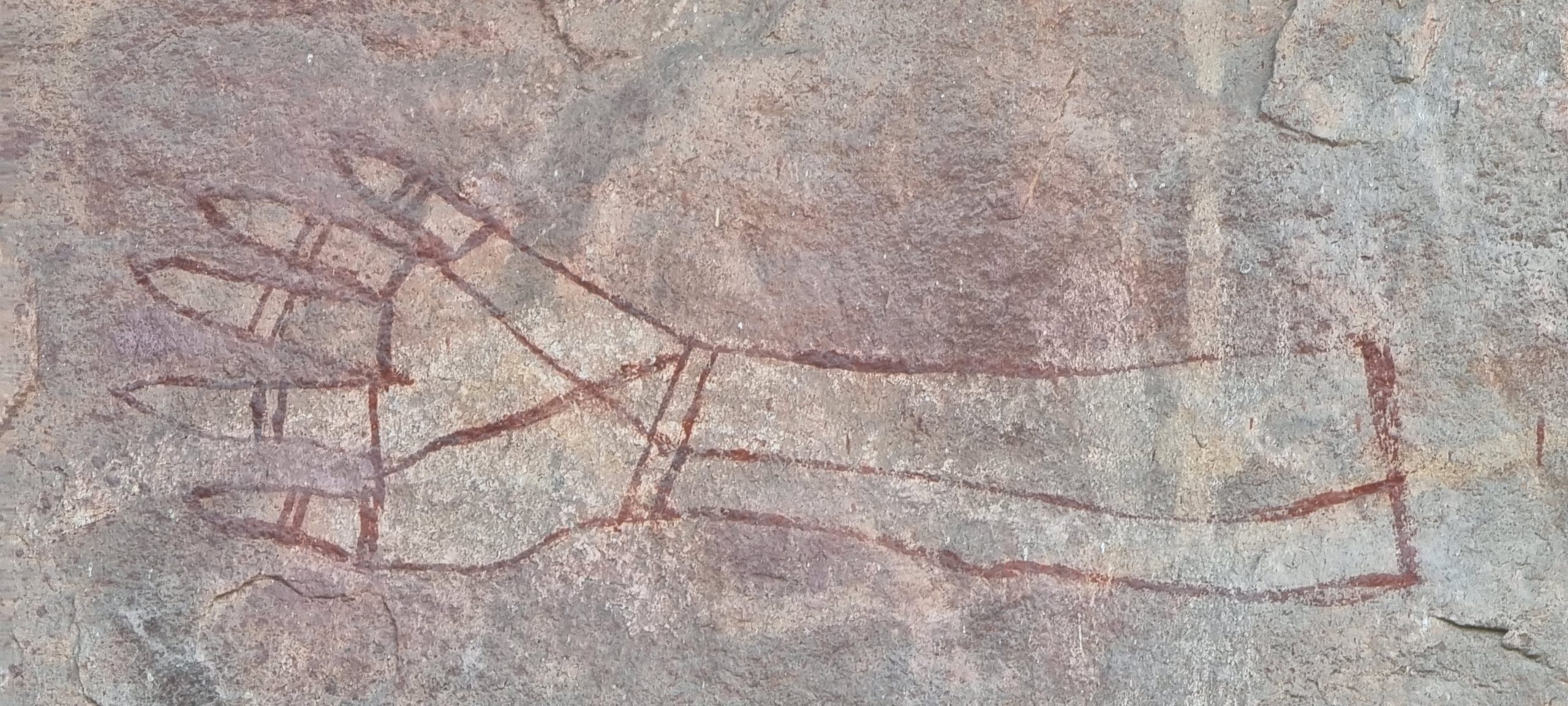
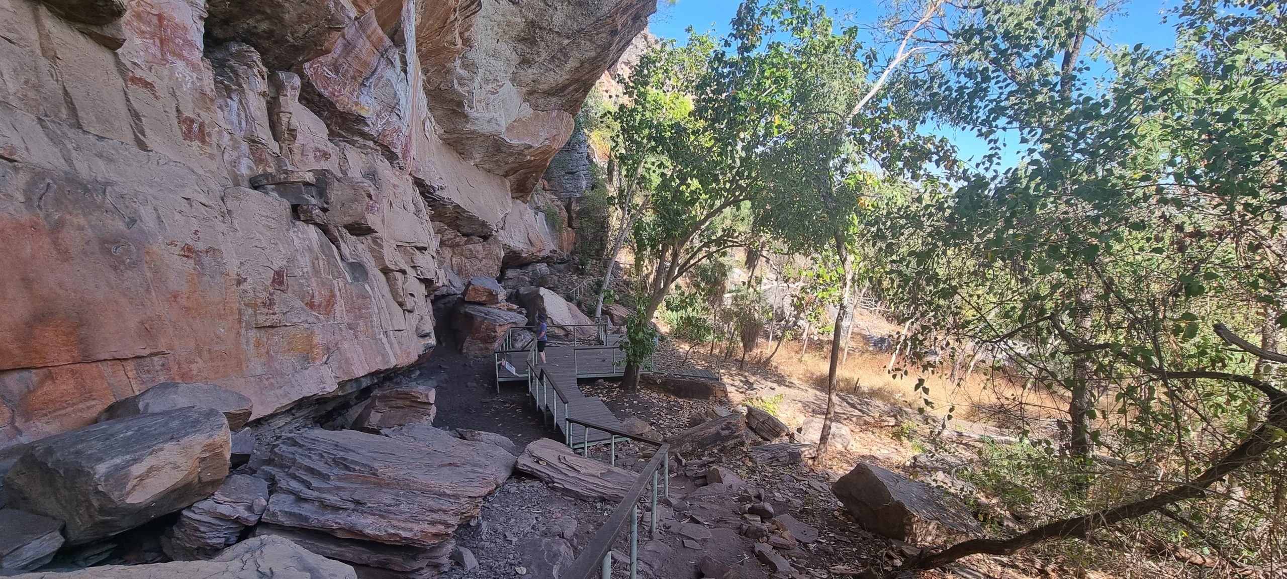
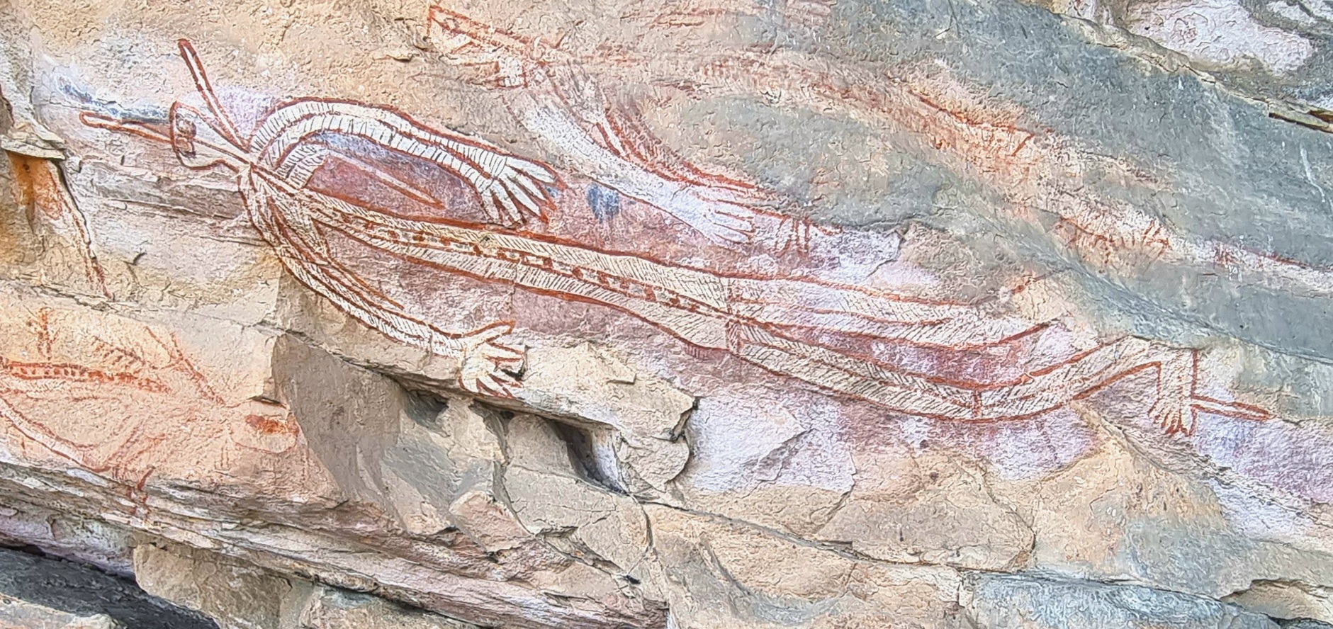
The final 300-metre scramble uphill to the base of a large area (sheltered by a significant overhang formed by the sheer cliffs above) revealed a rock art gallery that was about 50 metres long and 10 – 12 metres high in places. Signage suggested that art at the site was up to 20,000 years old, with more recent additions included through to the mid-1960s. Good and bad spirits were depicted. Seasonal foods were represented, particularly an unmistakable representation of a barramundi. The artists added their personal touch with a series of handprints high up on the underside of a rock overhang. Most interesting was the detailed depiction of a sailing ship under full sail.

The style of rock art on display was deemed to be examples of X-ray art, with the animals’ skeletons and internal organs highlighted by the artists. This is very different to the Quinkan style we have seen on Cape York (around Laura) and the Bradshaws we viewed near Mitchell Falls (in the Kimberley region). While we were busy taking photos and absorbing the information provided, other visitors arrived. We commented on the walk back to the Prado that everyone seemed to be very respectful and quiet while visiting the site.

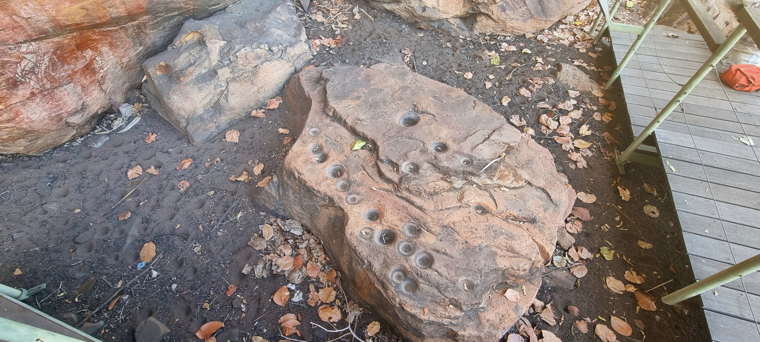
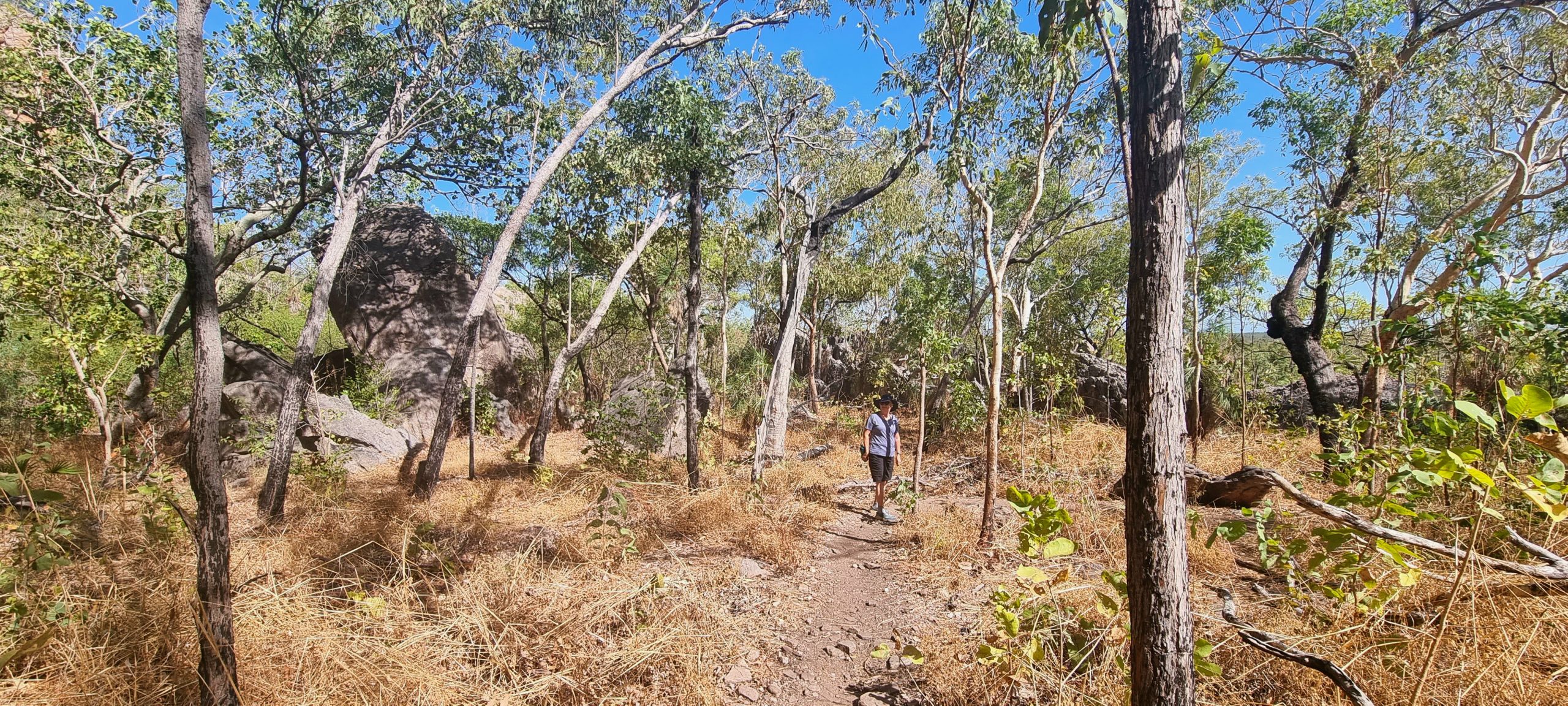
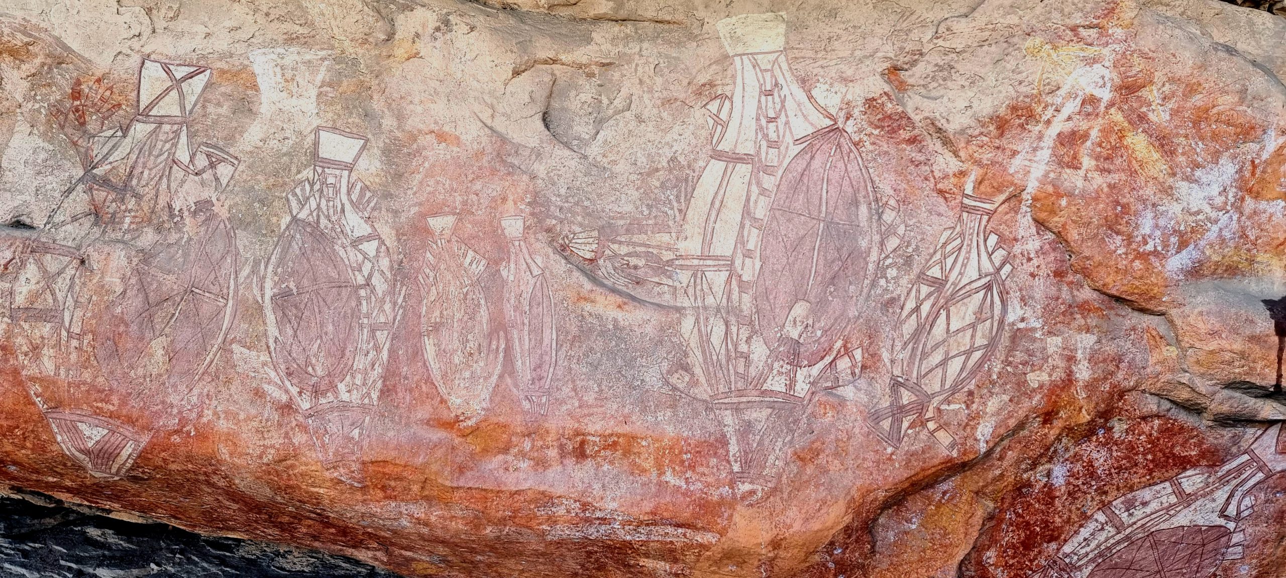
Our next stop was the Warradjan Aboriginal Cultural Centre, close to Cooinda Resort. There is a large, self guided walk-through display in the centre that highlights key aspects of First Nations people and their history, culture, customs, beliefs, etc. We wandered through, taking in as much as we could – but a second visit will allow us to absorb even more of the information presented. There is a well-stocked shop that sells a variety of art works produced by local First Nations people. There are also garish, long-sleeved polo shirts with Kakadu motifs in sizes to fit all members of the visiting families – these were probably produced in an Asian sweat shop.
We returned to our camp site for lunch before an afternoon swim at Cooinda Resort and a relax in the shade around the pool. The days have been hottest at around 1-3 pm, then slowly cool down as the sun gets lower in the afternoon sky. There is a bit of a breeze blowing during the day, but it to eases off as the sun sets.
