Having changed our plans and stayed at Seven Emu Station instead of Lorella Springs, we had no reason to follow the Nathan River Road section of the Savannah Way west of Borroloola. We consulted our maps the previous evening and decided we would follow the (mostly sealed) Carpentaria Highway west from Borroloola, stopping for a walk at the Caranbirini Conservation Reserve – one that Chris had read positive things about online.
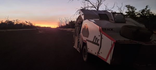
We were up early, not to appease Jim and family waiting to gain access to our camp site, but because it was possibly the best dawn sky we have experienced on this trip. Chris was up with camera in hand to try and capture the colours as they moved through various shades of red to orange to yellow as the sun appeared above the north eastern horizon. We were packed in good time and underway at 8.03am, to be met by Jim and family who were moving into the site before our dust had settled.

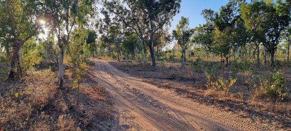
We followed the track from our campsite back around the other sites and through a stand of ghost gums, before stopping for Wendy to get out, open the gate to the stock yards, then close it behind us. We drove slowly past the ‘office’ where two departing campers were in discussion with Frank, the property owner. Wendy waved and thanked Frank for letting us stay on his property again. It was then down a steep hill before crossing the Robinson River and climbing up the other side to get back on the flood plain. Twenty-two kilometres later we rejoined the Savannah Way for the bumpy, corrugated, dusty and rocky drive into Borroloola.
Borroloola couldn’t come soon enough. We were over the pummelling that the road conditions were delivering. The tyre pressure monitoring system alarm went off, as tyres were overheating. Chris would slow down but that made the pummelling worse. But it was eventually over, and we had the comfort of a paved road to drive on as we headed into the centre of town. Our first task was to top up with fuel, then we swung around and parked outside the supermarket to see what they might have that was on our list. Whilst not 100% successful, we came away with a number of items we were after.
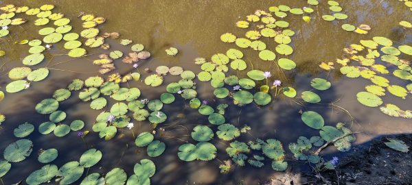
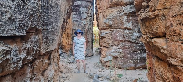
The drive west to Caranbirini Conservation Reserve was a short one, and we were off on the walk at around 10.30am. There was a short walk to a waterhole with a new bird hide that sat out over part of the waterhole. Keen birdwatchers could spend a lot of time there. Next, we set off on a short, 2 kilometre loop walk through an area of ancient sea floor that had been eroded over millions of years – creating yet another ‘lost city’ of turrets and shapes resembling ancient buildings. The day was warming up and the flies were enjoying our company. They did leave us briefly as we walked deeper into the shadow of the lost city, only to quickly rejoin us when we reappeared on the other side.


The remainder of the day was a procession of either developmental road (single lane of sealed road) or 2 lanes of sealed road where vehicles could pass without having to get off in the gravel. We stopped for a cool drink and a toastie at Cape Crawford (a road house) before continuing on to the Stuart Highway that joins Port Augusta in South Australia with Darwin in the Northern Territory (following loosely the path John McDougal Stuart took in 1861, when he completed the first south-north-south crossing of the continent).
Not long after joining the Stuart Highway, we took a left turn (a little beyond Larrimah) and had set up camp for the night on an old WWII runway along with another 5 fellow travellers. Given the runway is 2 kilometres long, there is plenty of space for us to spread out.

